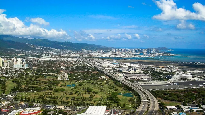
How Long Does It Really Take to Drive Around Oahu?
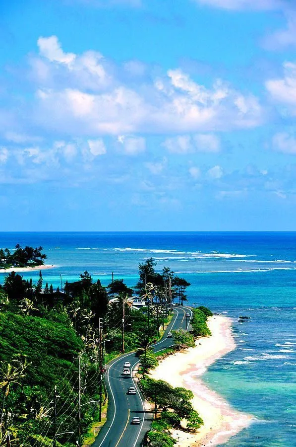
Planning a full-day road trip around the island raises an immediate scheduling question. If you want to know how long does it take to go around Oahu, the answer depends on your travel style. A continuous drive without stopping takes roughly 3.5 to 4.5 hours.
Most travelers take between 8 and 10 hours once you include scenic lookouts, food trucks, and beach stops. Route monitoring by the Hawaiʻi Department of Transportation shows coastal speed limits average 35 mph across two-lane roads. As of 2026, planning your route around peak traffic windows is the best way to ensure an easy drive.
Quick Answer
Driving around Oahu takes 3.5 to 4.5 hours of non-stop windshield time. A standard sightseeing loop takes 8 to 10 hours with regular stops. The total driving distance covers roughly 120 miles.
Coastal highway speed limits range between 25 and 45 miles per hour. Heavy afternoon traffic can add two extra hours to your drive.
Image source: Web (Bing) / pinterest.com (Web image (fair-use with source credit))
The Quick Reality Check: Windshield Time vs. Sightseeing Time
There is a big difference between pure driving time and actual touring time. The standard driving loop covers roughly 100 to 120 miles. If you never leave your car, you can complete the circle in less than four hours.
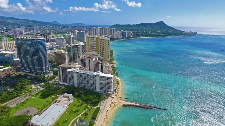
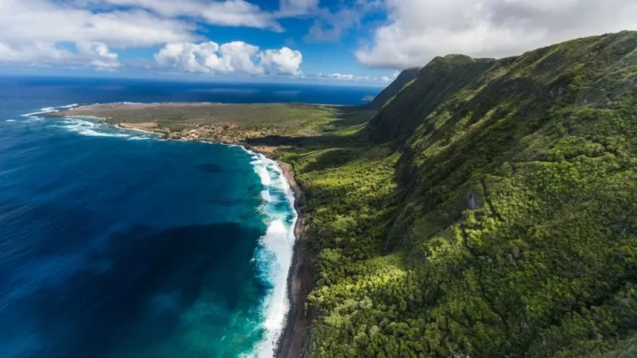
That non-stop estimate is rarely what visitors want. The main highway passes jagged mountain ridges, white sand bays, historic surf towns, and roadside fruit stands. Every scenic lookout adds 15 to 30 minutes to your schedule.
Sitting down for lunch, swimming at a cove, or touring a plantation pushes the timeline out further. To set realistic expectations, compare the pure windshield hours against real-world itineraries:
| Route Type | Distance | Pure Windshield Time | Realistic Trip Time | Best Suited For |
|---|---|---|---|---|
| South & East Express | ~45 miles | 1.5 to 2 hours | 3.5 to 4.5 hours | Travelers with tight afternoon flights |
| Windward & North Shore | ~85 miles | 2.5 to 3 hours | 6 to 7 hours | Travelers focused on surfing beaches |
| Classic Grand Circle | ~115 miles | 3.5 to 4.5 hours | 8 to 10 hours | First-time visitors wanting the full experience |
| Extended Perimeter | ~135 miles | 4.5 to 5.5 hours | 10 to 12 hours | Hikers and deep-dive explorers |
Key Variables That Dictate Your Real Driving Time
Your total travel time changes based on four specific driving conditions. Accounting for these variables early keeps your day running smoothly.
- Direction of Travel: Driving clockwise puts ocean views and coastal pullouts directly on your right. This saves time because you do not have to wait for left turns across oncoming highway lanes.
- The Kaʻena Point Gap: You cannot drive entirely around the perimeter of Oahu. Rugged volcanic cliffs protect Kaʻena Point State Park on the northwest tip, creating a permanent road gap between the North Shore and the Leeward Coast.
- Time of Departure: Leaving Honolulu after 8:30 AM puts you behind tour buses and local delivery trucks on single-lane roads like Kamehameha Highway (Route 83).
- Winter Surf Season: Between November and March, large ocean swells bring major surf competitions to the North Shore. Spectator traffic near Waimea Bay and Sunset Beach can double your driving time along that stretch.
The Oahu Route Decision Tree: Choosing the Right Loop for Your Schedule
Use this simple decision workflow to pick the right circuit based on your available hours and sightseeing goals.
How much time do you have?
├── 4 to 5 Hours  ──> Choose the Half-Day Express Loop (Route 72 + Pali Highway)
├── 8 to 9 Hours  ──> Choose the Classic Grand Circle (Waikīkī -> East Coast -> North Shore -> H-2)
└── 10+ Hours     ──> Choose the Full-Day Deep Dive (Includes hikes, botanical gardens, and town tours)
The Half-Day Express Loop (4 to 5 Hours)
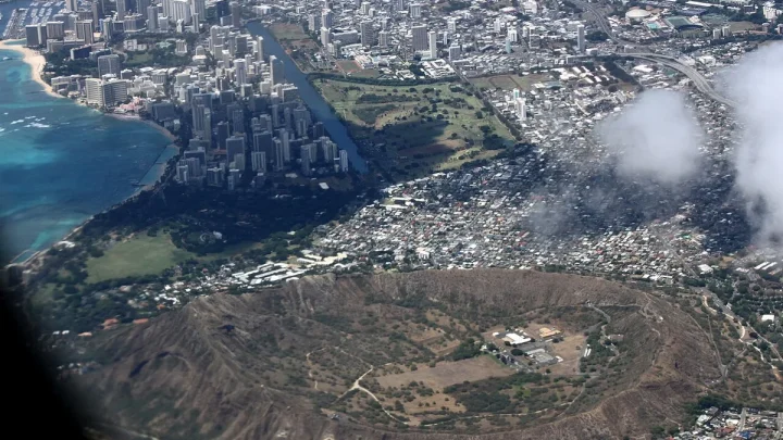
Choose this option if you have a half day or an evening flight. Depart Waikīkī on Kalanianaʻole Highway (Route 72) past Hanauma Bay and Halona Blowhole.
Continue past Makapuʻu Point into Kailua. Instead of driving north, cut back to Honolulu through the Koolau Mountains via the Pali Highway (Route 61).
The Classic Grand Circle Day Trip (8 to 9 Hours)
This is the standard road trip for most travelers. You drive east on Route 72, follow Route 83 up the Windward Coast, and track through the North Shore surf corridor.
After visiting Haleʻiwa, you take Interstate H-2 and H-1 back south to Waikīkī. This loop gives you enough time for five or six good stops plus a sit-down lunch.
The Full-Day Deep Dive (10 to 12 Hours)
Pick this plan if you want to include physical activities like hiking the Makapuʻu Lighthouse Trail, visiting the botanical gardens at Waimea Valley, or snorkeling at Shark's Cove.
Start before 7:00 AM. This extra time allows you to linger in Haleʻiwa for dinner before driving back south after evening rush hour clears.
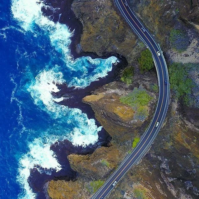
Image source: Web (Bing) / de.pinterest.com (Web image (fair-use with source credit))
Step-by-Step Breakdown of the Classic Grand Circle Island Route
Following a structured step-by-step route helps you pace your day without watching the clock constantly.
Leg 1: Waikīkī to East Oahu and the Windward Coast
- Distance: 30 miles
- Driving Time: 1 to 1.5 hours
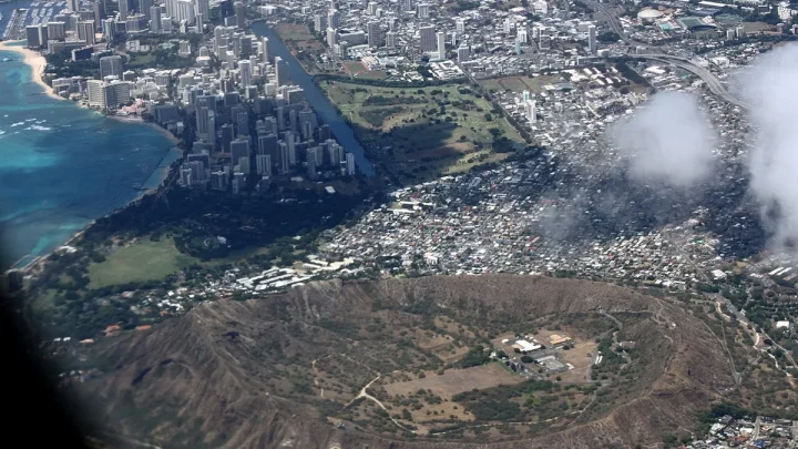
- Key Waypoints: Diamond Head, Hanauma Bay overlook, Halona Blowhole, Makapuʻu Point
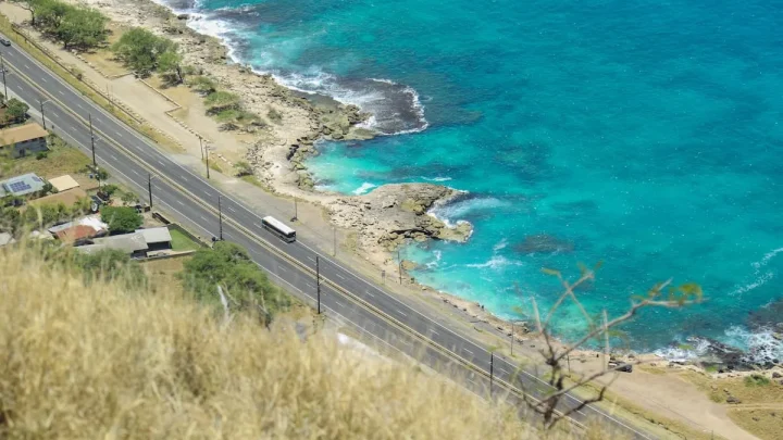
Start your trip heading east out of Honolulu on Route 72. The highway hugs sea cliffs with clear views of the Kaiwi Channel.
Make quick stops at Halona Blowhole and the Makapuʻu scenic lookout. Continue past Waimānalo Beach toward Kaneohe. You will see the sheer green walls of the Koʻolau mountain range rising on your left.
Leg 2: Windward Coast Through the North Shore Surf Corridor
- Distance: 45 miles
- Driving Time: 1.5 to 2 hours
- Key Waypoints: Kualoa Regional Park, Laie Point, Kahuku food trucks, Banzai Pipeline, Waimea Bay
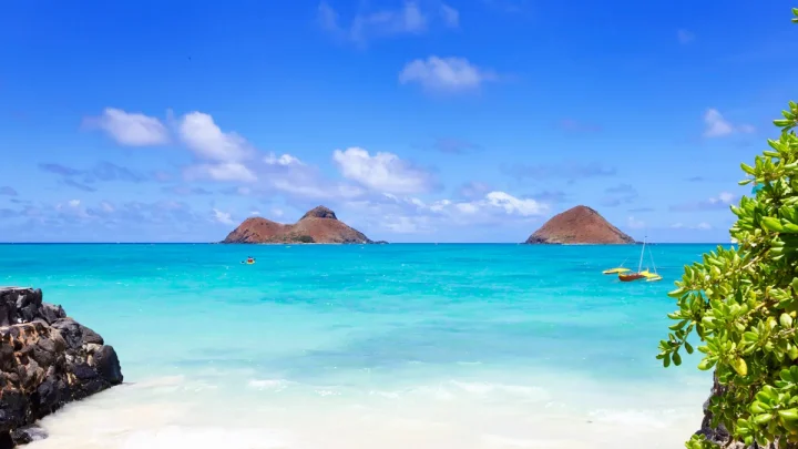
Merge onto Kamehameha Highway (Route 83) heading north. Stop at Kualoa Regional Park to see the offshore islet known as Mokoliʻi.
Continue north through rural towns until you reach Kahuku. This is the best spot to stop for lunch at the local garlic shrimp trucks.
After lunch, round the northern crest of the island into the surf belt. Pass Sunset Beach, Banzai Pipeline, and Waimea Bay before rolling into historic Haleʻiwa town.
Leg 3: Haleʻiwa Back to Waikīkī via Central Oahu
- Distance: 35 miles
- Driving Time: 45 to 60 minutes
- Key Waypoints: Haleʻiwa historic town, Dole Plantation, Interstate H-2, Interstate H-1
Spend an hour browsing local art galleries or grabbing shaved ice in Haleʻiwa. Depart south along Route 99 through the pineapple fields of the central plateau.
You will pass the Dole Plantation in Wahiawā. Merge onto Interstate H-2 South, which links directly to Interstate H-1 East back into Honolulu.
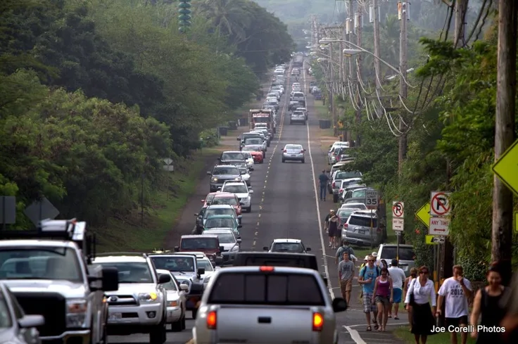
Image source: Bing (Web (fair-use with source credit))
Common Bottlenecks and Timing Mistakes to Avoid
A few predictable traffic traps can add significant delays to your circuit if you do not plan ahead.
- Laniakea Beach Pedestrian Delays: Located just north of Haleʻiwa, Laniakea is famous for basking green sea turtles. Constant pedestrian crossings on this two-lane road create bumper-to-bumper delays between 11:00 AM and 4:00 PM.
- Honolulu Afternoon Commuter Flow: Avoid driving west on Interstate H-1 between 3:30 PM and 6:30 PM. Complete your loop from the north so you enter Honolulu going east, moving against heavy commuter traffic.
- The West Side Dead End Mistake: First-time visitors sometimes try to drive up the Leeward Coast (Route 93 past Waianae) expecting to circle around to the North Shore. Route 93 ends abruptly at Yokohama Bay, forcing a full turnaround back to Kapolei.
- Overbooking Paid Attractions: Attempting to combine the Polynesian Cultural Center, Kualoa Ranch tours, and a North Shore beach day into a single circle drive creates an exhausting schedule. Limit yourself to one booked attraction per driving day.
Essential Road Trip Logistics: Departure Timing, Fuel, and Parking
Managing logistical details before rolling out of Honolulu keeps small disruptions from derailing your timeline. Rural coastal corridors offer fewer service stations and strict parking enforcement.
Depart by 7:30 AM if you want prime parking at coastal trailheads and beaches. Popular lots at Halona Blowhole and Shark's Cove fill completely by mid-morning. If you arrive after 10:00 AM, you will often find yourself waiting in idling queues for spaces to open.
State park regulations require advance reservations for out-of-state visitors at specific locations. Per the Hawaiʻi Division of State Parks, sites like Diamond Head State Monument require timed-entry vouchers booked online prior to arrival.
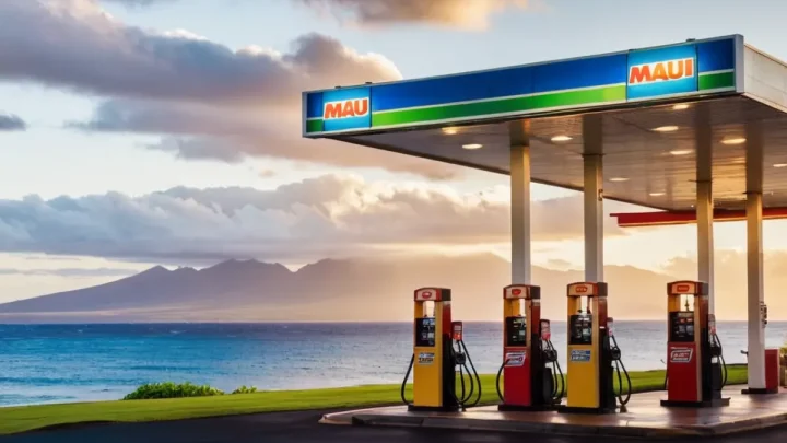
Fill your gas tank before leaving the primary metro areas of Honolulu or Kailua. Fuel stations are sparse along the 30-mile stretch between Kaneohe and Kahuku. You will find higher fuel prices at the few rural pumps operating on the North Shore.
- Rental Car Security: Never leave luggage, backpacks, or electronics visible on seats at scenic lookouts. Vehicle break-ins are common at unattended coastal turnouts.
- Restroom Planning: Public facilities are located at beach parks like Kailua Beach, Kualoa Regional Park, and Sunset Beach. Plan comfort stops around these municipal parks.
- Cell Service Gaps: Mobile signals can drop near the mountain ridges along Kamehameha Highway. Download your offline GPS map before leaving your hotel.
Frequently Asked Questions About Circling Oahu
Can you drive completely around Oahu in one continuous loop?
No, you cannot drive fully around the island's perimeter. Kaʻena Point State Park creates a natural roadblock on the northwest point. High sea cliffs and protected wildlife areas prevent roads from connecting the North Shore directly to the Leeward West Side.
Is it better to drive around Oahu clockwise or counter-clockwise?
A clockwise route is best for sightseeing. Driving clockwise keeps the ocean and scenic lookouts on your passenger side. This makes pulling into scenic viewpoints easier because you do not have to wait to turn across opposing highway lanes.
How much gas will I use driving around Oahu?
Most standard rental cars use roughly four to six gallons of fuel for the 120-mile trip. That amounts to roughly one-third to one-half of a standard fuel tank. Expect to spend between $20 and $30 on fuel depending on current local pump prices.
Are public buses an option for circling Oahu?
Yes, TheBus operates routes around the island, but it takes significantly longer. Route 60 runs from Kaneohe to Haleʻiwa along the Windward Coast. A public transit loop can easily require six to eight hours of pure riding time with transfer delays.
How long does it take to drive straight to the North Shore?
Driving directly from Waikīkī to Haleʻiwa takes about 45 to 60 minutes via Interstate H-1 West and Interstate H-2 North. This central route bypasses the coastal highways, covering roughly 32 miles directly across the island's interior plateau.
Decision Guide: Selecting Your Optimal Island Circuit
Choosing your ideal Oahu driving loop comes down to balancing your available hours with your sightseeing priorities.
If you have a full day to explore, choose the Classic Grand Circle driving clockwise. Departing Waikīkī by 7:30 AM lets you experience dramatic coastal views on Route 72, enjoy lunch at the Kahuku shrimp trucks, and tour Haleʻiwa without fighting traffic.
If your schedule only allows four or five hours, stick to the Southeast Coastal Loop. Drive Route 72 past Sandy Beach and Makapuʻu Point into Kailua. Return directly to Honolulu through the Koolau Range on Pali Highway (Route 61).
If you want to spend the day hiking or surfing, pick a single coast to explore rather than rushing through the entire circuit. Dedicating your day to either the North Shore surf corridor or the lush Windward Coast gives you more time on the sand and less time behind the wheel.

Similar Posts