Why Is Oahu the Most Populated Island in Hawaii?
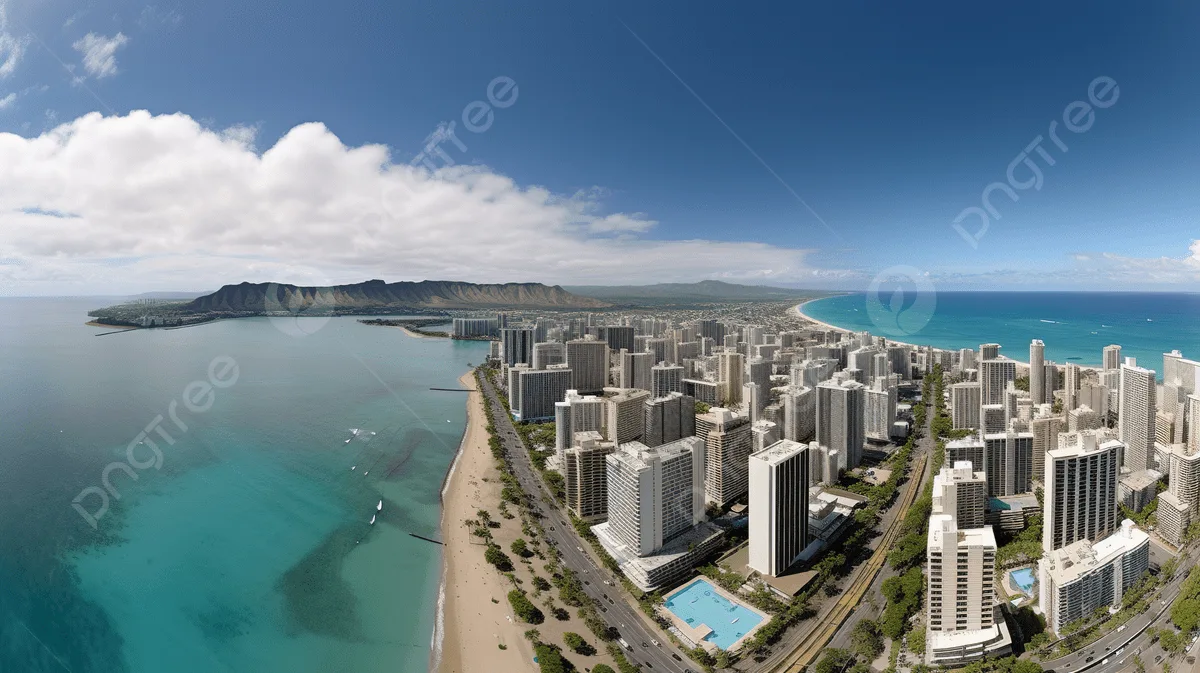
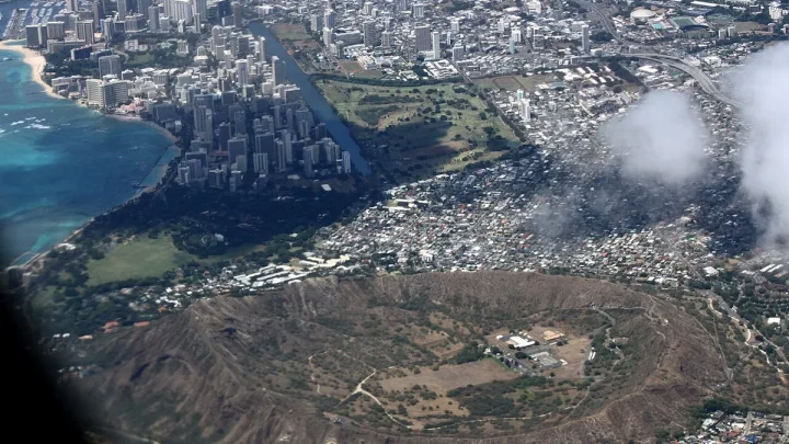
Understanding why is oahu the most populated island in Hawaii comes down to geography, history, and economics. Many visitors assume the largest island would hold the most people, but Oahu houses roughly two-thirds of the state population. This dramatic concentration is not an accident of modern tourism.
Official data from the U.S. Census Bureau shows nearly one million residents living on Oahu as of 2026. That massive population sits on just nine percent of the total land area in the state.
To understand how this imbalance happened, we have to look at the unique physical advantages that set Oahu apart centuries ago.
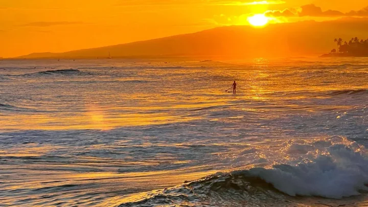
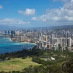
Image source: Web (Bing) / pngtree.com (Web image (fair-use with source credit))
Quick Answer
🌺 Local Island Guide Quick Answer
Oahu is the most populated island because of its natural deep-water harbor. Honolulu Harbor allowed safe international shipping in the nineteenth century. King Kamehameha III moved the royal capital there in 1845.
Federal military investments and corporate jobs followed this early urban growth. Today, Oahu holds Hawaii's primary healthcare, education, and transport infrastructure.
The Oahu Population Paradox: 9% of the Land, 70% of the People
The demographic split across the Hawaiian archipelago is one of the most extreme in the United States. Hawaii Island, commonly called the Big Island, covers over 4,000 square miles of land. Oahu covers just under 600 square miles.
Yet Oahu holds roughly 70 percent of Hawaii's total population.
This creates a massive contrast in everyday life between Oahu and the neighbor islands. On Oahu, the population density exceeds 1,600 people per square mile. On Hawaii Island, the density sits below 60 people per square mile.
Economists call this pattern urban agglomeration. Once an initial advantage attracts people and capital to a single spot, growth tends to feed on itself. Businesses open where the customers live, and workers move where the jobs are located.
Over decades, this cycle transformed Oahu into the commercial powerhouse of the Pacific.
Geography Built the Foundation: Natural Deep-Water Harbors and Flat Plains
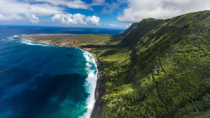
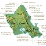
Long before skyscrapers rose in Honolulu, island geology dictated where large populations could survive. Oahu is an older island geologically than Maui or Hawaii Island. Its two volcanic shields, the Koolau and Waianae ranges, eroded over millions of years.
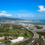
This erosion created the broad, flat Ewa Plain and the central plateau.
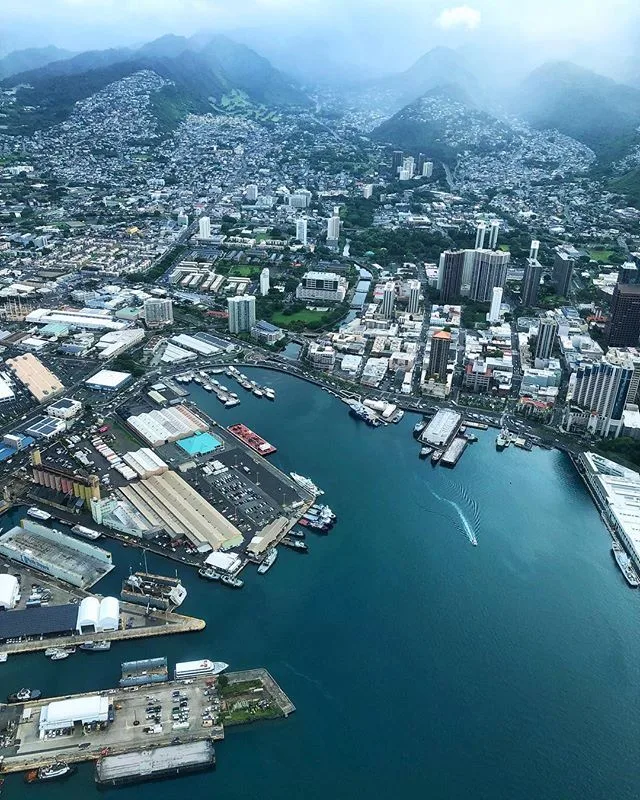
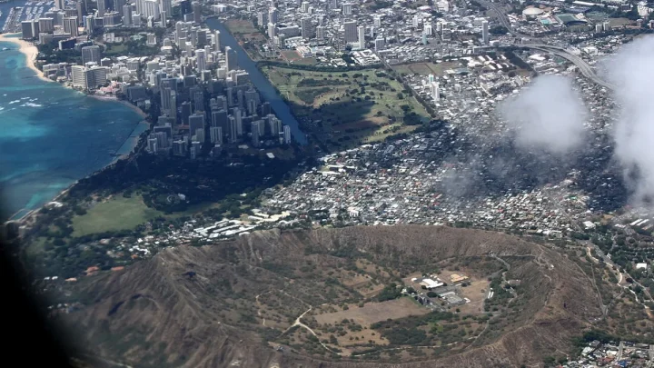
Image source: Bing (Web (fair-use with source credit))
These flat expanses made road building, farming, and urban development far simpler than on younger islands. Hawaii Island is covered in rugged lava fields and steep terrain. Oahu offered wide tracts of buildable land right next to calm ocean waters.
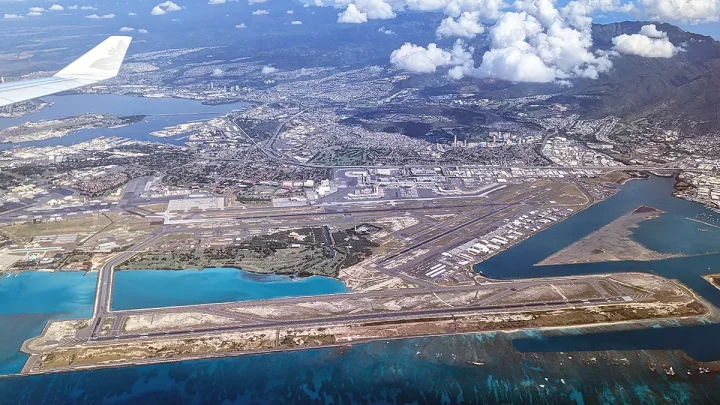
The single biggest geographic asset was Honolulu Harbor, known historically as Ke Awa o Kou. Neighbor islands feature exposed bays and rocky shorelines that offer little protection from open-ocean swells. Honolulu Harbor provided a calm, deep-draft channel sheltered by an outer barrier reef.
Nearby, the massive natural basin of Pearl Harbor offered an even larger sheltered anchorage. These marine features made Oahu the only practical hub for global transpacific shipping.
The Historical Pivot: Why Kamehameha III Moved the Capital in 1845
During the early nineteenth century, Lahaina on Maui served as the capital of the Hawaiian Kingdom. Lahaina was a popular anchorage for whaling fleets, but its harbor was an open roadstead. Ships had to drop anchor offshore in exposed water, which made cargo transfer slow and risky during rough weather.
As commercial traffic expanded, merchant vessels required safe docks. Honolulu Harbor offered the exact shelter that Lahaina lacked. International trading firms, foreign consulates, and supply merchants began concentrating their operations around the port of Honolulu.
In 1845, King Kamehameha III made the strategic decision to move the royal court and capital permanently to Honolulu. This relocation cemented Oahu as the political and financial core of the islands. Government offices, judicial courts, and banking institutions settled around the harbor.
Once the seat of government locked into place, the island's lead over the rest of the chain became permanent.
The Compounding Flywheel: Military Bases, Infrastructure, and Economic Gravity
Following the capital relocation and the later annexation of Hawaii, federal defense planners recognized Oahu's strategic value. The United States military heavily fortified the island during the early twentieth century. Pearl Harbor became the primary naval base for the Pacific Fleet, and facilities like Schofield Barracks housed tens of thousands of troops.
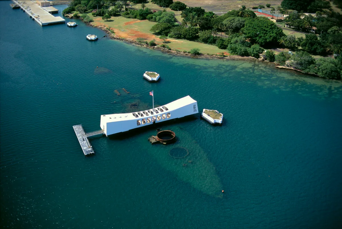
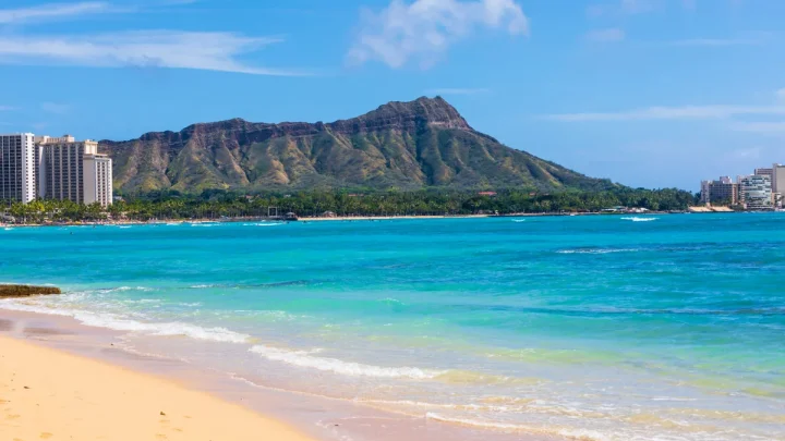
Image source: Web (Bing) / fity.club (Web image (fair-use with source credit))
Defense spending poured millions of dollars into Oahu's power grid, water delivery systems, and paved roadways. This military presence established a stable economic floor that neighbor islands lacked.
Commercial supply chains organized around Oahu as well. The state developed a hub-and-spoke freight distribution model that continues today. Transpacific container ships unload their cargo at Honolulu Harbor.
Local carriers then barge smaller shipments out to Maui, Kauai, and Hawaii Island.
Specialized services quickly followed the population. The state built its flagship higher education campus, the University of Hawaiʻi at Manoa, in urban Honolulu. Major tertiary healthcare facilities, including The Queen's Medical Center and Kapiʻolani Medical Center, established their operations nearby.
Residents across the state still travel to Oahu for advanced medical treatments, corporate finance, and specialized legal services.
Population and Land Distribution Across the Hawaiian Islands
The contrast in population distribution across the major Hawaiian islands highlights how uniquely centralized Oahu remains. The following data outlines how land size compares to resident counts across the state:
| Island / County | Land Area (Sq. Miles) | Approximate Population | Population Share | Density (People / Sq. Mi.) | Primary Economic Driver |
|---|---|---|---|---|---|
| Oahu (Honolulu County) | 597 | 995,000 | ~69% | ~1,660 | Government, Defense, Tourism, Healthcare |
| Hawaii Island (Hawaii County) | 4,028 | 205,000 | ~14% | ~51 | Tourism, Agriculture, Astronomy |
| Maui County (Maui, Molokai, Lanai) | 1,162 | 165,000 | ~12% | ~142 | Tourism, Real Estate, Agriculture |
| Kauai (Kauai County) | 552 | 73,000 | ~5% | ~132 | Tourism, Agriculture, Defense Research |
While the neighbor islands maintain strict zoning codes and rural lifestyles, Oahu absorbs the vast majority of statewide industrial, corporate, and governmental growth.
The Realities of Modern Oahu: Economic Opportunity vs. Severe Density Pressures
This heavy concentration of people brings distinct trade-offs for residents. Oahu offers the most diverse job market in the state. If you work in technology, commercial banking, specialized healthcare, or state government, Oahu is often the only island with broad career paths.
However, cramming one million residents into a narrow coastal corridor creates severe physical strains. Housing supply remains extremely tight. The median single-family home price on Oahu routinely hovers near record highs, driving high rental costs across the island.
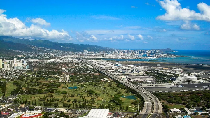
Traffic congestion is another daily hurdle. The H-1 freeway corridor connects the residential developments of Ewa Beach and Kapolei to downtown Honolulu. This single highway route carries immense commuter volume every weekday morning.
Land use laws also limit outward expansion. Hawaii enacted strict statewide zoning regulations under the Land Use Law of 1961. This law designates vast sections of Oahu for agricultural and conservation use.
Because developers cannot easily build outward into the mountains, modern development must build upward in urban Honolulu or densify existing suburban lots.
Frequently Asked Questions About Oahu’s Population and Urbanization
Why did Honolulu become the main city instead of Lahaina or Hilo?
Honolulu offered a protected deep-water harbor that safely shielded merchant ships from heavy ocean swells. Lahaina only had an exposed roadstead, and Hilo lacked the calm leeward basin required for large international vessels. King Kamehameha III permanently moved the royal capital to Honolulu in 1845 to support expanding maritime commerce.
Is Oahu the largest Hawaiian island by land size?
No, Oahu is the third-largest island by land area. Hawaii Island, also known as the Big Island, is nearly seven times larger than Oahu. Maui is also significantly larger.
Oahu holds the most residents despite its modest size because of its flat topography, natural harbors, and centralized public infrastructure.
What percentage of Hawaii's population lives on Oahu?
Roughly 69 to 70 percent of Hawaii's total population resides on Oahu. The island is home to nearly one million full-time residents. By comparison, the remaining three major counties across Hawaii Island, Maui County, and Kauai County share the remaining 30 percent of the statewide population.
Why doesn't the state move more government jobs to neighbor islands?
Centralized operations reduce administrative costs and improve service coordination. Honolulu already houses the primary international airport, major commercial shipping docks, state legislature, and top medical centers. Distributing core agencies to outer islands would require costly inter-island travel and duplicate expensive support facilities.
🚗 Field-Tested Gear: Oahu Road Trips & Rental Car Protection
Avoid costly rental car detailing penalties from wet sand and keep navigation seamless across island mountain corridors with these road trip essentials:
- Waterproof Neoprene Car Seat Towel Covers:Check Waterproof Rental Seat Covers on Amazon →
- Magnetic Air Vent Car Phone Mount & GPS Companion:Check Travel Air Vent Car Mounts on Amazon →
*FTC Disclosure: As an Amazon Associate, Hawaii Travel Bureau earns from qualifying purchases. Learn more about our field-tested travel research methodology.*
🌺 Related Oahu Driving & Transit Guides:

Similar Posts