How to Drive Around Oahu: Best Routes, Stops & Tips
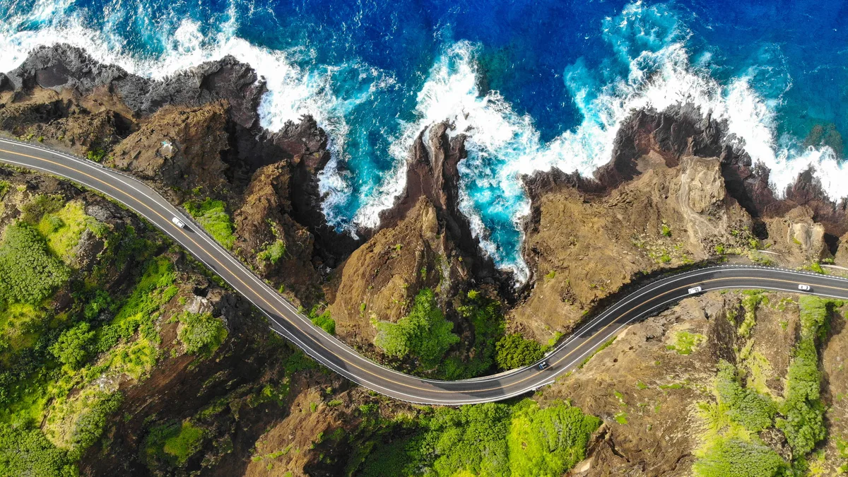
Planning how to drive around oahu requires knowing that no paved road circles the entire perimeter of the island. Many travelers expect a continuous circular highway, but rugged volcanic cliffs block the western tip at Kaʻena Point. Driving around the island means following a horseshoe route along the eastern and northern coasts before cutting back through the central valley.
A complete loop covers roughly 120 miles and takes 8 to 10 hours with standard scenic stops. Coastal highway speed limits range between 25 and 45 mph, making island driving slower than most mainland routes. Planning your departure time carefully helps you avoid heavy commuter bottlenecks along two-lane coastal roads.
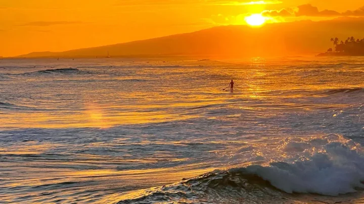
Image source: Web (Bing) / abigwideworldblog.wordpress.com (Web image (fair-use with source credit))
Quick Answer
🌺 Local Island Guide Quick Answer
To drive around Oahu, follow the classic clockwise route from Waikiki. Travel east on Route 72 past Makapuʻu Point. Continue north along Route 83 through the Windward Coast and North Shore.
Cut back south toward Honolulu using Route 99 and Interstate H-2. Start before 7:30 AM to beat coastal traffic. Allow 8 to 10 hours for the entire trip.
The Reality of Driving Oahu: Routes, Timing, and the Missing Road
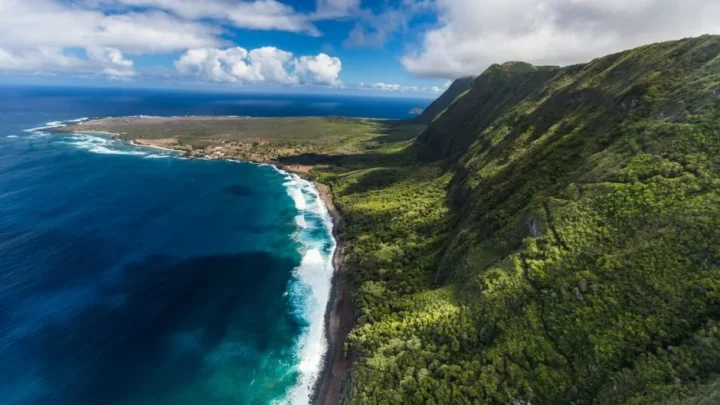
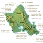
You cannot drive completely around Oahu on a single continuous coastal loop. The jagged volcanic cliffs at Kaʻena Point State Park split the northwest coastline. There is a four-mile unpaved gap where no road connects the North Shore to the Leeward Coast.
Because of this natural barrier, every circle island route follows a horseshoe profile. You head east out of Honolulu, wind up the lush Windward Coast, cruise across the North Shore, and return south through the Central Valley.
A standard 120-mile loop takes about 3.5 hours of uninterrupted driving time. Two-lane highways, beach pedestrian crosswalks, and scenic viewpoints extend actual road trips to roughly 8 or 10 hours. As of 2026, heavy commuter traffic routinely builds along Kamehameha Highway during the early afternoon, so pacing your day matters.
The Core Decision: Clockwise vs. Counter-Clockwise vs. Two-Day Split
Your driving direction determines how easily you reach scenic stops. Choosing when to head out depends on your main priorities for the day.
| Strategy | Best For | Main Advantage | Key Trade-Off |
|---|---|---|---|
| Clockwise Loop | First-time visitors, scenic lookouts | Right-hand turns into ocean pullouts | Afternoon sun facing you on the drive back |
| Counter-Clockwise | Surfers, food trucks on North Shore | Early arrival in Haleiwa before crowds | Left-hand turns across oncoming coastal traffic |
| Two-Day Split | Families, relaxed sightseers | Deep exploration with zero rush | Requires two separate rental car days |
If you want effortless ocean views, choose the clockwise route. Heading east first keeps the Pacific Ocean on your passenger side. Every scenic lookout between Hawaii Kai and Kahuku allows a smooth right turn with no oncoming traffic to cross.
If your top goal is beating North Shore crowds, choose counter-clockwise. Leaving Honolulu via the central H-2 freeway gets you to Haleiwa by 8:00 AM before beach parking lots fill to capacity.
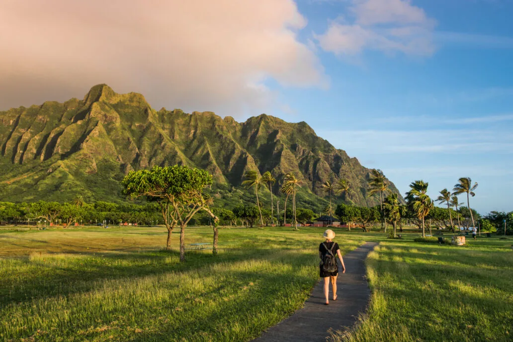
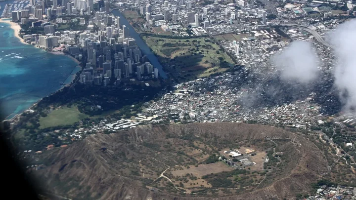
Image source: Web (Bing) / fity.club (Web image (fair-use with source credit))
The Ideal 8-Hour Clockwise Loop: Step-by-Step Route and Stops
Leave your hotel by 7:30 AM to clear Honolulu traffic before morning congestion peaks.
Leg 1: Waikiki to Makapuʻu via Kalanianaʻole Highway (Route 72)
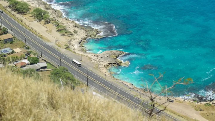
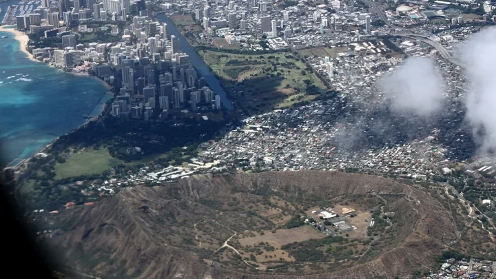
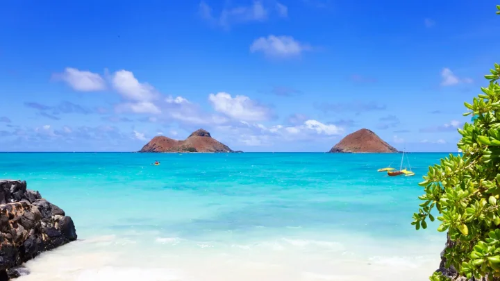
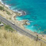
Head east around Diamond Head and merge onto Kalanianaʻole Highway (Route 72). Pull into the Halona Blowhole lookout to watch ocean swells blast through the submerged lava tube. Continue past Sandy Beach up to the Makapuʻu Point lookout for wide views of Manana Island and the windward coastline.
Leg 2: Windward Coast to Kualoa via Kamehameha Highway (Route 83)
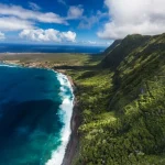
Drive through Waimanalo and past Kaneohe to join Kamehameha Highway (Route 83). The sheer green cliffs of the Koʻolau Range rise directly on your left. Stop at Kualoa Regional Park to take photos of Mokoliʻi, the offshore islet known locally as Chinaman's Hat.
Leg 3: Kahuku Shrimp Country to the North Shore Beaches
Continue north into Kahuku for lunch at the roadside garlic shrimp trucks. From there, head west past world-famous surf breaks like Sunset Beach, the Banzai Pipeline at Ehukai Beach Park, and Waimea Bay. Traffic slows near Laniakea Beach due to pedestrians crossing to see resting sea turtles.
Wildlife regulations enforced by the NOAA Fisheries Pacific Islands require visitors to stay at least 10 feet away from protected green sea turtles.
Leg 4: Haleiwa Town and the Quick Inland Return via Route 99 and H-2
Spend an hour exploring historic Haleiwa Town and grab a shave ice. Head south on Kamehameha Highway (Route 99) past the pineapple fields of Wahiawa. Merge onto Interstate H-2 South, which connects directly with Interstate H-1 East back into Honolulu.
Route Variations: Central Shortcuts and the Leeward Coast Detour
If you are short on time, you can cut the circle route in half. The Pali Highway (Route 61) cuts through the Koʻolau Mountains via tunnels, dropping you directly onto the Windward Coast in 25 minutes.
The Leeward Coast requires its own dedicated trip. Farrington Highway (Route 93) runs along the dry, rugged western shore through Waianae and dead-ends at Kaʻena Point. If you want to explore the west side, plan a separate half-day drive rather than combining it with a full circle island loop.
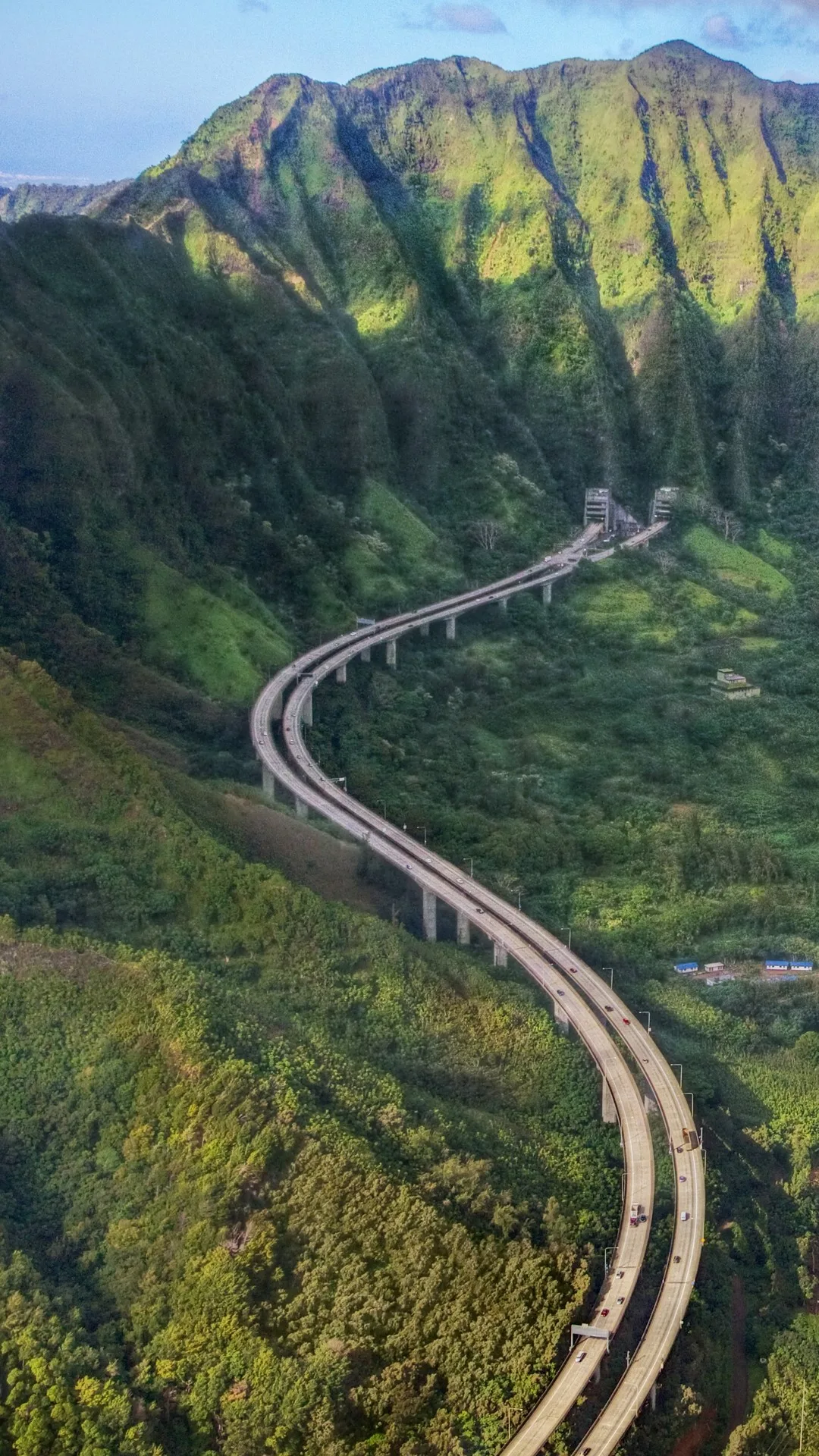
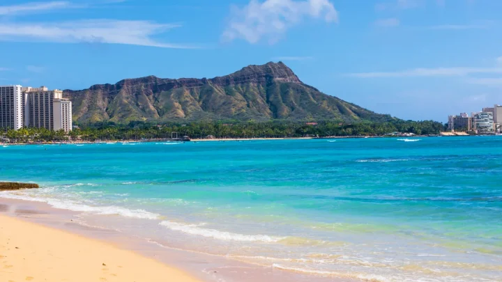
Image source: Web (Bing) / windows10spotlight.com (Web image (fair-use with source credit))
Rental Cars, Navigation, and Road Rules Unique to Oahu
Compact cars and mid-size sedans are the most practical options for driving around Oahu. Beach park spaces and Waikiki hotel garages are notoriously narrow. A convertible or Jeep is fun, but soft tops invite property theft at unmonitored trailheads.
Download offline maps before leaving your accommodation. Cellular data service drops frequently along rural stretches of Kamehameha Highway near Kualoa. The Hawaii Department of Transportation strictly enforces mobile electronic device laws across all islands.
Always use a dashboard cradle for hands-free navigation while driving.
Cost Breakdown: Fuel, Rentals, Parking, and Hidden Fees
Renting a car to drive around Oahu involves several expenses beyond the daily rental rate. Budgeting for fuel, hotel parking, and state park access prevents unexpected surprises on your final receipt.
| Expense Category | Estimated Cost | Notes and Recommendations |
|---|---|---|
| Daily Rental Rate | $45 to $110 / day | Economy sedans offer the best rates and easiest parking. |
| Fuel (Full Tank) | $45 to $65 / tank | Gas prices on Oahu run higher than the US national average. |
| Waikiki Overnight Parking | $40 to $65 / night | Most resort hotels charge mandatory daily parking fees. |
| State Lookout Parking | $5 to $10 / stop | Applies to sites like Nuʻuanu Pali and Diamond Head. |
Gas stations are sparse along the rural northeastern coastline between Kaneohe and Kahuku. Fill your fuel tank in Honolulu or Kailua before heading into the Windward Coast to avoid searching for open pumps in rural areas.
Common Mistakes That Ruin an Oahu Road Trip
Leaving personal items visible on car seats is the fastest way to invite a smash-and-grab break-in. Unattended vehicles at scenic overlooks like the Halona Blowhole or beach park trailheads are frequent targets. Place all bags, towels, and gear securely out of sight in the trunk before arriving at your destination.
Another frequent error is underestimating the midday bottleneck near Laniakea Beach. Between 11:00 AM and 4:00 PM, pedestrian crossings for sea turtle viewing cause massive bumper-to-bumper delays on Route 83.
Starting your drive after 9:00 AM also leaves you stuck behind town commuter traffic and tour buses. Departing early gives you open roads and empty parking stalls at popular viewpoints.
Oahu Driving FAQ: Answers to Practical Road Trip Questions
How long does it take to drive completely around Oahu?
A direct drive without stops takes roughly 3.5 to 4.5 hours. A complete sightseeing road trip with meals and scenic stops takes between 8 and 10 hours. Starting early in the morning ensures you complete the loop before sunset.
Can you drive completely around Oahu without cutting inland?
No, you cannot drive entirely around the coastline because no road crosses Kaʻena Point. Rugged volcanic cliffs at the western tip divide the North Shore from the Leeward Coast. Every circle island itinerary cuts inland through Wahiawa via Route 99 and Interstate H-2.
Which direction is best to drive around Oahu?
Driving clockwise is the best option for scenic views. Heading east from Waikiki puts the coastline on your passenger side. This makes pulling into roadside lookouts quick and safe without crossing oncoming highway traffic.
Do you need a 4WD or Jeep to drive around Oahu?
No, a standard sedan or compact car is fine for the entire circle island route. Every major road on the standard scenic loop is fully paved and well maintained. Compact vehicles are also much easier to park in tight beach lots.
Where are the worst traffic bottlenecks on Oahu?
The worst coastal bottleneck occurs on Route 83 near Laniakea Beach on the North Shore. Heavy foot traffic slows vehicles to a crawl for several miles. Central Honolulu also experiences severe rush hour congestion on Interstate H-1 westbound on weekday afternoons.
🚗 Field-Tested Gear: Oahu Road Trips & Rental Car Protection
Avoid costly rental car detailing penalties from wet sand and keep navigation seamless across island mountain corridors with these road trip essentials:
- Waterproof Neoprene Car Seat Towel Covers:Check Waterproof Rental Seat Covers on Amazon →
- Magnetic Air Vent Car Phone Mount & GPS Companion:Check Travel Air Vent Car Mounts on Amazon →
*FTC Disclosure: As an Amazon Associate, Hawaii Travel Bureau earns from qualifying purchases. Learn more about our field-tested travel research methodology.*
🌺 Related Oahu Driving & Transit Guides:

Similar Posts