How Long Is Oahu in Miles? Size & Driving Distance
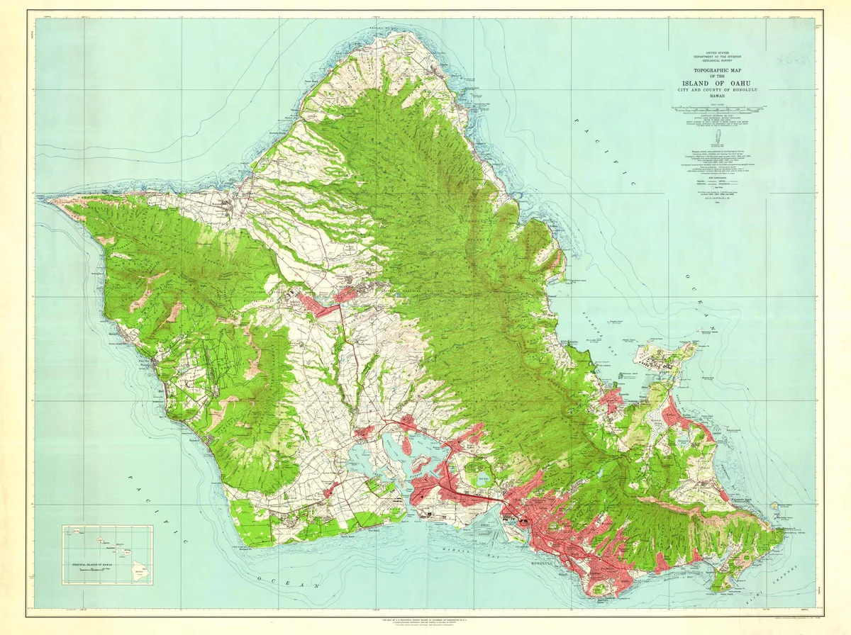
If you are planning a trip to Hawaii, knowing how long is oahu in miles helps you map out your days without getting trapped in traffic. The island looks deceptively small on a globe, but volcanic topography dictates every route you take.
Geographic surveys from the State of Hawaii show that Oahu spans 44 miles from its northwest tip to its southeastern point. Coastal curves, mountain ranges, and local speed limits mean your actual odometer reading will look much higher.
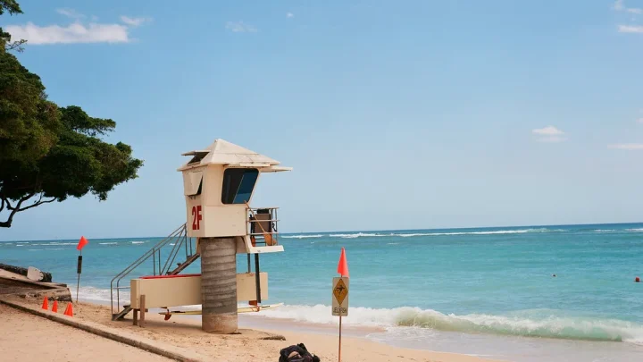
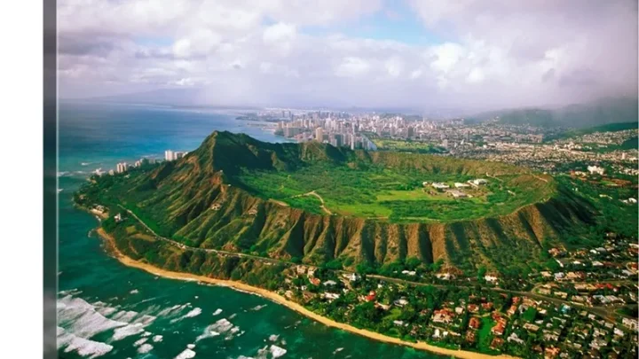
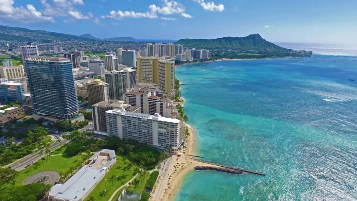
Image source: Bing (Web (fair-use with source credit))
Quick Answer
Oahu measures 44 miles long from northwest to southeast. It measures roughly 30 miles across at its widest point. The full shoreline circumference is 227 miles.
A typical driving tour covers 110 to 130 miles. Plan on spending four to six hours behind the wheel.
The Quick Numbers: Straight-Line Length vs. Shoreline Circumference
When geographers measure the island, they look at the straight-line distance across open land. From Kaʻena Point in the northwest to Makapuʻu Point in the southeast, Oahu measures 44 miles long. At its widest point, from Barbers Point in the southwest to Kāneʻohe Bay in the northeast, it spans about 30 miles.
The island covers 597 square miles of total land area. Because of its jagged bays and irregular peninsulas, the tidal shoreline stretches roughly 227 miles according to coastal survey data.
| Measurement Type | Distance / Area | Key Landmark Reference |
|---|---|---|
| Straight-Line Length | 44 miles (71 km) | Kaʻena Point to Makapuʻu Point |
| Maximum Width | 30 miles (48 km) | Barbers Point to Kāneʻohe Bay |
| Shoreline Perimeter | 227 miles (365 km) | Full coastal tidal boundary |
| Total Land Area | 597 sq miles (1,546 km²) | Entire City & County of Honolulu |
| Full Island Driving Loop | 110–130 miles | Waikiki through Windward & North Shore |
These straight-line numbers give a clear picture of the landmass. However, they do not tell you how long your rental car journey will actually take.
Why Geographic Distance Doesn't Match Road Mileage on Oahu
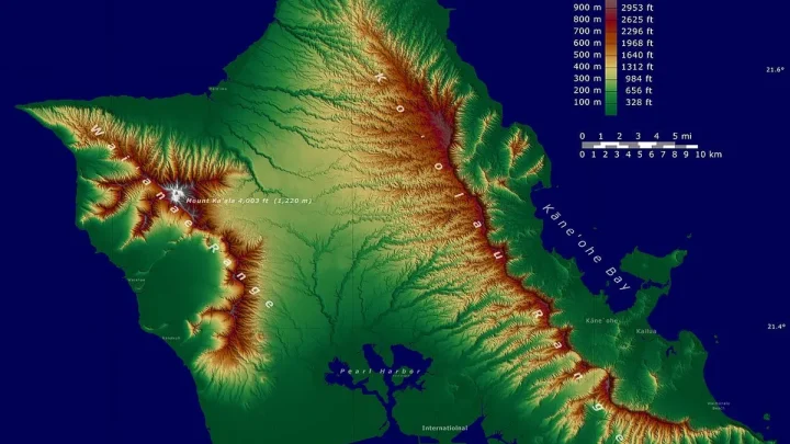
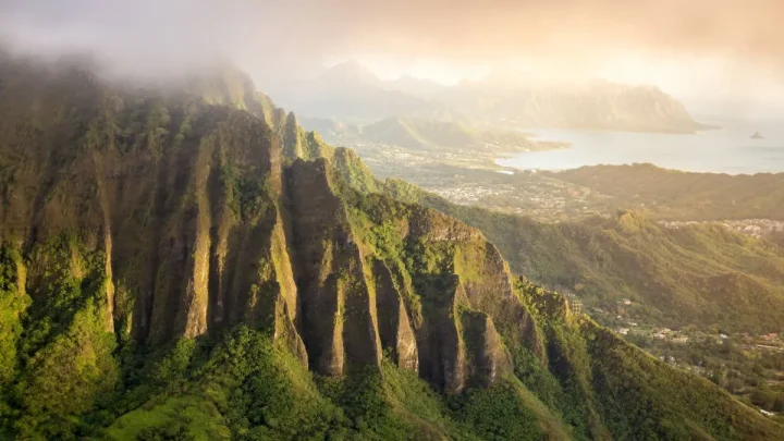
You cannot drive in a straight line across Oahu. The island was formed by two shield volcanoes, which left behind two major mountain ranges running parallel to each other. The Waiʻanae Range sits in the west, and the Koʻolau Range borders the east.
Because these rugged mountains rise sharply from sea level, roads must wrap around them or pass through a central plateau. Coastal highways follow the curving edge of the ocean, which adds extra miles to every trip.
[West: Waiʻanae Range] <--- Central Plateau (H-2 / Route 99) ---> [East: Koʻolau Range]
                                        |
                   (All coastal roads must curve around the outside)
Island speed limits also change the equation. The Hawaii Department of Transportation sets limits between 35 and 45 mph along most two-lane coastal roads. Between lower speeds, pedestrian crosswalks in beach towns, and scenic switchbacks, a 30-mile drive on Oahu often takes twice as long as a 30-mile drive on a mainland interstate.
Driving the Island: A Realistic Mile-by-Mile Circle Tour
Most travelers explore the island by driving what locals call the Circle Island route. This road trip takes you from the bustling streets of Waikiki along the rugged east coast, up through the North Shore, and back down through the central valley.
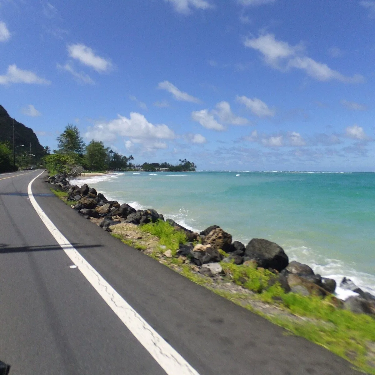
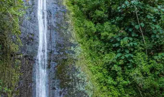
Image source: Web (Bing) / tripadvisor.fr (Web image (fair-use with source credit))
A typical circular driving route covers between 110 and 130 miles depending on your side stops:
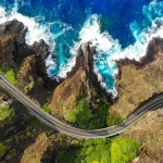
- Waikiki to Makapuʻu Point (Route 72): 15 miles along sea cliffs past Diamond Head and Hanauma Bay.
- Makapuʻu to Kāneʻohe (Route 72 to Route 83): 18 miles along the lush Windward Coast and Waimānalo.
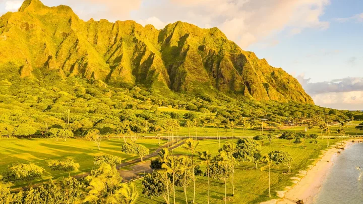
- Kāneʻohe to Haleʻiwa (Route 83 / Kamehameha Highway): 40 miles winding past Kualoa, Kahuku, and the North Shore surf breaks.
- Haleʻiwa back to Waikiki (Route 99 to H-2 and H-1): 32 miles directly south through the Wahiawā central plateau.
While 115 miles sounds like a two-hour highway drive, you should budget at least five to eight hours. That gives you enough time to grab shrimp in Kahuku, watch surfers, and manage beach traffic.
The Kaʻena Point Factor: Why Oahu Isn't a Continuous Loop
Many visitors look at a map and assume they can drive completely around the outer perimeter of the island. That is impossible because the road ends at Kaʻena Point on the far western tip.
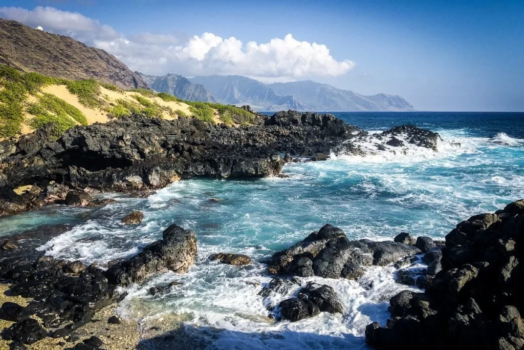
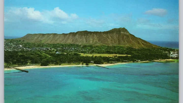
Image source: Web (Bing) / uk.hotels.com (Web image (fair-use with source credit))
Farrington Highway approaches Kaʻena Point from the North Shore (Route 930) and from the Leeward Coast (Route 93), but the two paved ends never meet. A rugged volcanic gap separates them inside Kaʻena Point State Park.
This area is maintained as a protected natural reserve for nesting seabirds and Hawaiian monk seals. Motor vehicles cannot cross this coastal trail.
If you drive up the west coast to the road's end, you cannot continue around to the North Shore. You must turn around, drive back down to Kapolei, and cut through the center of the island.
Oahu Distance and Drive Time Cheat Sheet (Hub to Hub)
Planning your daily schedule requires knowing both the mileage and the actual clock time between regions. Road conditions as of 2026 show that rush hour traffic heavily affects the south and west corridors.
| Route | Main Highway | Driving Miles | Typical Travel Time |
|---|---|---|---|
| Waikiki to Haleʻiwa (North Shore) | H-1 to H-2 to Route 99 | 32 miles | 45–60 minutes |
| Waikiki to Kailua Beach | Pali Highway (Route 61) | 16 miles | 30–40 minutes |
| Waikiki to Ko Olina Resorts | H-1 West | 27 miles | 35–55 minutes |
| Honolulu Airport to Waikiki | H-1 East or Nimitz Hwy | 9 miles | 20–35 minutes |
| Haleʻiwa to Turtle Bay Resort | Kamehameha Hwy (Route 83) | 12 miles | 20–30 minutes |
| Ko Olina to North Shore | Route 99 / Kamehameha Hwy | 28 miles | 40–50 minutes |
Morning traffic flows heavily eastbound toward Honolulu, while afternoon traffic backs up heading westbound toward Kapolei and Ewa Beach. Midday travel gives you the most reliable drive times.
How Oahu Compares to Maui, Kauai, and the Big Island in Size
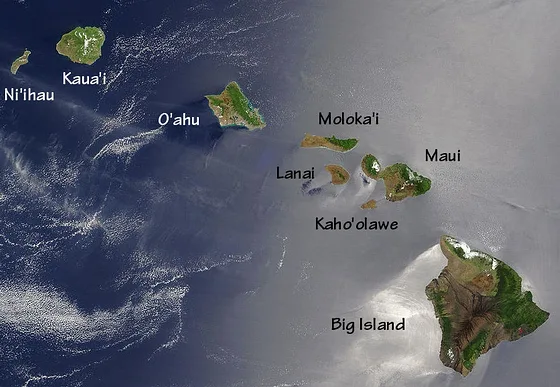
Oahu ranks as the third largest island in the Hawaiian chain. While it holds nearly 70 percent of the state population, several neighbor islands cover significantly more physical ground.
According to land measurement records from the U.S. Geological Survey, the Big Island of Hawaii dwarfs the rest of the chain at 4,028 square miles. Maui also covers more raw land area than Oahu, while Kauai and Molokai are smaller.
| Hawaiian Island | Land Area (Sq Miles) | Maximum Length | Typical Full Driving Loop |
|---|---|---|---|
| Hawaii (Big Island) | 4,028 sq miles | 93 miles | 250–300 miles |
| Maui | 727 sq miles | 48 miles | 120–150 miles |
| Oahu | 597 sq miles | 44 miles | 110–130 miles |
| Kauai | 552 sq miles | 33 miles | 90–105 miles |
| Molokai | 260 sq miles | 38 miles | 60–75 miles |
Even though Maui and the Big Island have more square mileage, Oahu has the most developed road network. It is the only Hawaiian island with an interstate highway system (H-1, H-2, H-3, and H-201). These multi-lane freeways make cross-island travel faster than on rural neighbor islands.
Lessons from the Road: Navigating Traffic, Speed Limits, and Fuel
Covering miles on Oahu requires working around local driving habits and daily bottle-necks. Even though the mileage looks modest on a map, local driving conditions dictate your pace.
Traffic slows significantly along two-lane coastal stretches. The most famous delay happens on the North Shore near Laniakea Beach, often called Turtle Beach. Pedestrians crossing Kamehameha Highway to see basking sea turtles can turn a five-mile stretch into a 45-minute crawl between 11 a.m. and 4 p.m.
Gas stations and electric vehicle chargers are plentiful in Honolulu, Kapolei, and Kaneohe. Once you head past Haleiwa on the North Shore or past Waimanalo on the southeast coast, fuel stops become scarce. Top off your tank or battery before leaving the metro area to avoid paying higher fuel prices in remote towns like Kahuku.
Frequently Asked Questions About Oahu's Miles and Drive Times
Can you drive completely around Oahu in one day?
Yes, you can easily drive around the accessible coastal roads of Oahu in a single day. The loop covers roughly 110 to 130 miles and takes four to six hours of pure driving time. Starting early in the morning leaves plenty of time for beach stops, meals, and scenic viewpoints.
Why can't you drive around the entire coast of Oahu?
The road does not connect around Kaʻena Point on the far western tip of the island. This rocky area is a protected natural reserve without paved roads. To travel between the west coast and the north shore, you must divert inland through the central valley using Highway 99 or Interstate H-2.
How many miles is it from Waikiki to the North Shore?
The direct route from Waikiki to Haleʻiwa on the North Shore is about 32 miles. Taking the fast route via Interstate H-1 and H-2 takes roughly 45 to 60 minutes. The scenic route along the Windward Coast covers about 55 miles and takes over two hours without stops.
How wide is Oahu from east to west?
Oahu measures approximately 30 miles wide at its broadest point. This measurement runs from Barbers Point on the southwest coast across to Kaneohe Bay on the northeast coast. Driving between these two points takes around 35 to 50 minutes along Interstate H-1 and the H-3 freeway.
What is the speed limit on Oahu highways?
Interstate freeways around Honolulu carry speed limits between 50 and 60 mph. Most coastal two-lane highways, such as Kamehameha Highway and Kalanianaʻole Highway, have speed limits between 35 and 45 mph. Speed limits drop to 25 mph through residential beach communities and school zones.

Similar Posts