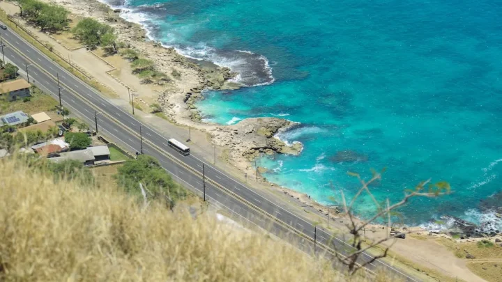
Where Is Oahu, Hawaii? Exact Location & Island Map
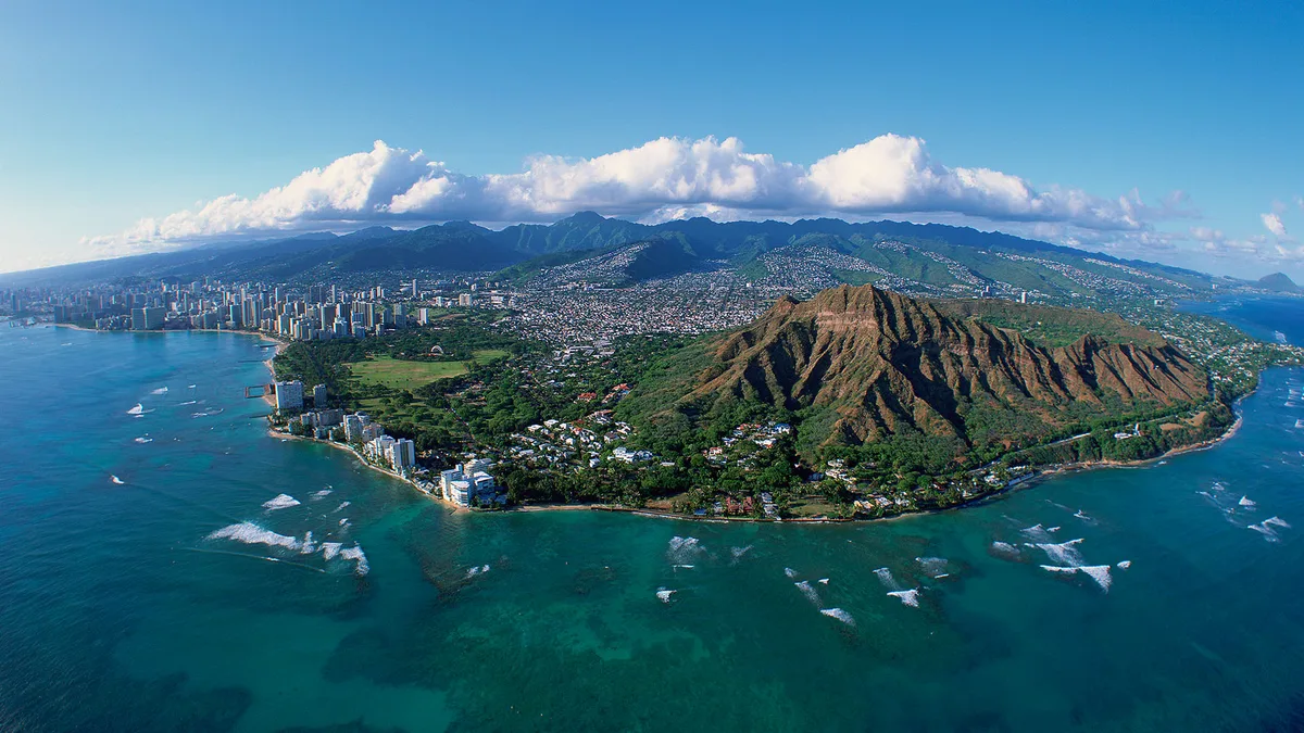
Planning a trip requires knowing where Oahu Hawaii sits on the globe and within the island chain. Oahu is the third-largest island in the state of Hawaii and serves as the cultural and economic heart of the archipelago. It rests in the central Pacific Ocean, roughly 2,400 miles southwest of the continental United States.
Official mapping data places the island at approximately 21.4389 degrees North and 158.0001 degrees West. Oahu spans 597 square miles and houses nearly seventy percent of Hawaii's total population as of 2026. Understanding its layout helps you choose the right base for your travels.
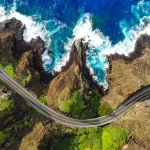
Image source: Web (Bing) / windows10spotlight.com (Web image (fair-use with source credit))
Quick Answer: Pinpointing Oahu on the World and Hawaii Map
To find where Oahu Hawaii sits, look at the central Pacific Ocean. Oahu is located in the middle of the main Hawaiian island chain. It rests between Kauai to the northwest and Molokai to the southeast.
The island contains Honolulu, the state capital of Hawaii. Flights from the US West Coast take roughly five to six hours.
Macro Location: Where Oahu Sits in the Pacific and the Hawaiian Island Chain
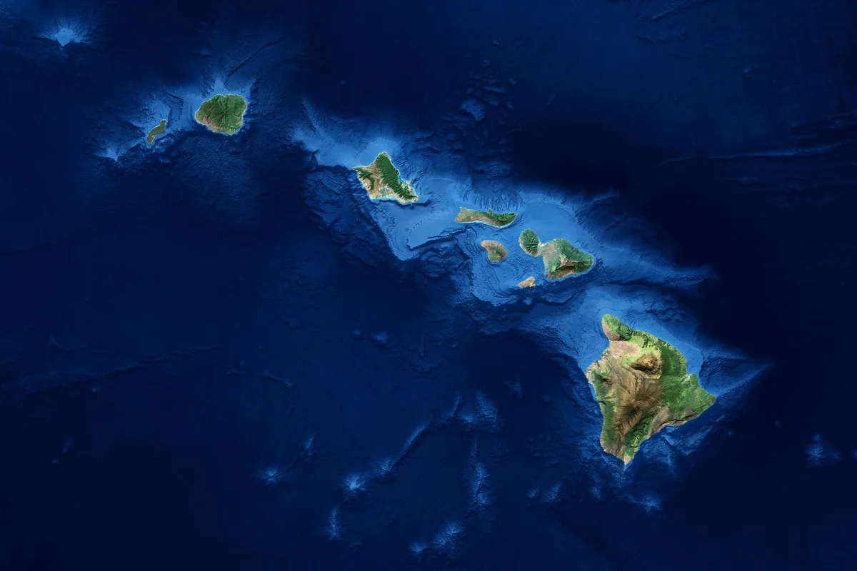
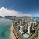
Image source: Web (Bing) / fity.club (Web image (fair-use with source credit))
Oahu sits squarely in the Polynesian Triangle of the North Pacific Ocean. It forms an essential part of the eight main Hawaiian Islands. When looking at a satellite view, Oahu appears as an irregular diamond-shaped landmass positioned between deep ocean waters and neighboring volcanic peaks.
The island acts as the central crossroads of the state. It connects the older, eroded islands to the northwest with the younger, volcanically active islands to the southeast.
Distance from the US Mainland and Global Hubs
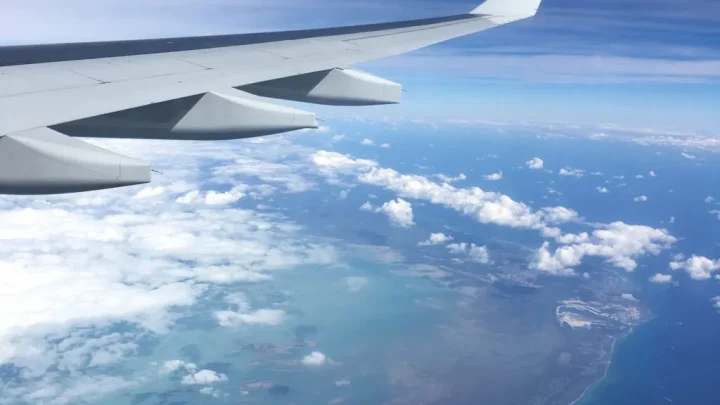
Reaching Oahu requires crossing open ocean from any direction. The flight from Los Angeles or San Francisco covers roughly 2,400 miles and takes about five and a half hours.
International routes approach Oahu from across the Pacific Basin:
- Tokyo, Japan: Roughly 3,850 miles west (about 8 hours by air).
- Sydney, Australia: Roughly 5,060 miles southwest (about 10 hours by air).
- Vancouver, Canada: Roughly 2,700 miles northeast (about 6 hours by air).
Oahu's Position Relative to Neighbor Islands
Oahu is bordered by two major ocean channels. To the northwest lies the Kauai Channel, separating Oahu from Kauai by about 63 miles of open water.
To the southeast, the Kaiwi Channel separates Oahu from Molokai across a 26-mile stretch. Marine weather and currents monitored by the National Oceanic and Atmospheric Administration make these deep channels popular migration paths for humpback whales during winter months.
The Anatomy of Oahu: Visualizing the 5 Distinct Regions
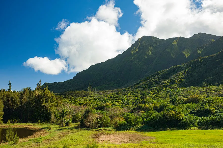
Image source: Web (Bing) / pinterest.com (Web image (fair-use with source credit))
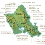
Two eroded shield volcanoes formed Oahu millions of years ago. The Koʻolau Mountain Range runs along the eastern spine, while the Waiʻanae Mountain Range borders the west. These ridges divide the island into five distinct geographic and climate zones.
The South Shore: Honolulu and Waikīkī
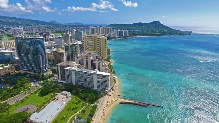
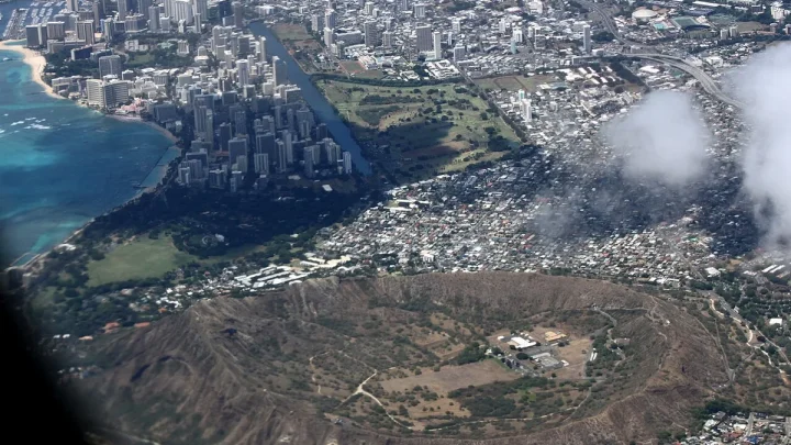
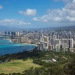
The South Shore is the urban and historic engine of Hawaii. It contains downtown Honolulu, the famous sands of Waikīkī, and major historic sites like Pearl Harbor.
This region is sheltered from heavy trade winds. As a result, it stays warm and sunny with gentle surf for most of the year.
The Windward Coast: Lush Greenery and Turquoise Waters
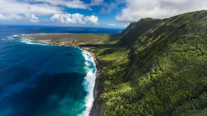
The Windward Coast covers the eastern side of Oahu. Moist trade winds blow off the ocean and hit the dramatic cliffs of the Koʻolau range, creating frequent passing showers and lush tropical landscapes.
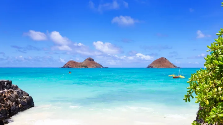
Towns like Kailua and Kāneʻohe offer calm turquoise bays protected by offshore barrier reefs.
The North Shore: Legendary Surf and Rural Coastlines
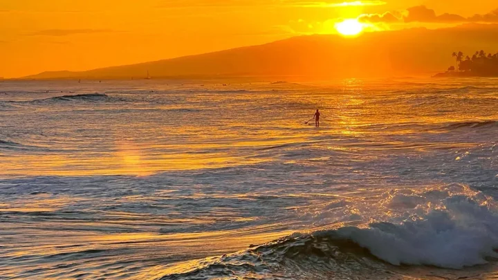
The North Shore faces the open northern Pacific. During summer, the ocean here resembles a calm lake.
During winter, massive deep-sea storms generate legendary waves at places like Waimea Bay and the Banzai Pipeline. The vibe remains distinctly rural, centered around the historic surf town of Haleʻiwa.
The Leeward Coast: Arid Sunshine and West-Side Beaches
The Leeward Coast sits on the western side of the Waiʻanae Mountains. Because the mountains block incoming rain clouds, this coast receives minimal rainfall.
It features wide, sunny beaches and quiet coastal communities, ending at the roadless cliffs of Kaʻena Point.
Central Oahu: The High Plateau and Historic Pineapple Fields
Central Oahu is an elevated inland valley sitting between the two mountain chains. Towns like Wahiawā and Mililani occupy this fertile red-dirt plateau.
Historically famous for sprawling pineapple and sugarcane fields, Central Oahu now connects the south shore freeways to the North Shore.
Geographic Landmark Breakdown: Oahu vs. Maui, Kauai, and the Big Island
Many first-time travelers confuse Oahu with the other main islands. Each island has a distinct size, population density, and geographic character.
| Island | Nickname | Relative Position to Oahu | Land Area (sq mi) | Primary Character |
|---|---|---|---|---|
| Oahu | The Gathering Place | Central Anchor | 597 | Urban hub, historic sites, diverse coasts |
| Maui | The Valley Isle | Southeast | 727 | Luxury resorts, dormant volcanoes, scenic valleys |
| Kauai | The Garden Isle | Northwest | 552 | Rugged cliffs, deep canyons, lush rainforests |
| Hawaii Island | The Big Island | Far Southeast | 4,028 | Active volcanoes, vast landscapes, climate extremes |
Oahu vs. The Big Island (Island of Hawaiʻi)
The most common mistake is confusing Oahu with the Big Island. The Big Island is almost seven times larger than Oahu and contains active volcanoes. However, Oahu holds nearly four times as many residents and offers a denser, more connected road network.
Oahu vs. Maui and Kauai
Maui and Kauai offer quieter, less populated experiences. Kauai is defined by dramatic geography like the Nā Pali Coast, while Maui is known for Haleakalā Crater and the Road to Hāna. Oahu balances natural scenery with the conveniences of a major metropolitan city.
Travel Logistics: Distances, Flight Times, and Entry Points
Because Oahu is an island surrounded by open ocean, air travel is the standard way to arrive and explore.
[ US West Coast / International Flights ]
                   │
                   ▼
  Daniel K. Inouye Int'l Airport (HNL)
         │                   │
         ▼                   ▼
[ Oahu Road Network ]   [ Inter-Island Flights ]
  • H-1 (South Shore)     • Kauai (LIH): ~35 min
  • H-2 (Central Valley)  • Maui (OGG): ~35 min
  • H-3 (Windward)        • Big Island (KOA): ~45 min
Daniel K. Inouye International Airport (HNL) as the Central Hub
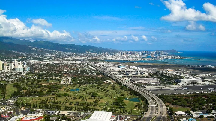
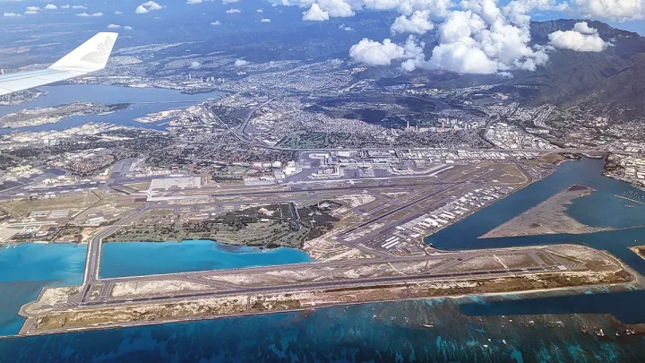
Daniel K. Inouye International Airport sits on the South Shore of Oahu, just west of downtown Honolulu. It operates as the primary international gateway for the entire state.
Inter-island flights take off from HNL continuously throughout the day. Reaching neighbor islands like Maui or Kauai takes about 35 to 45 minutes by air.
Travel Times and Distances Across the Island
Driving across Oahu is straightforward, but mountain passes and rush-hour traffic affect travel times.
- Honolulu Airport to Waikīkī: 9 miles (roughly 20 to 30 minutes).
- Waikīkī to North Shore (Haleʻiwa): 32 miles (roughly 45 to 60 minutes).
- Waikīkī to Kailua (Windward): 14 miles via the Pali Highway (roughly 30 minutes).
- Waikīkī to Ko Olina (Leeward): 27 miles via Interstate H-1 (roughly 40 to 60 minutes).
How to Navigate Oahu: Local Directional Cues and Spatial Orientation
Getting your bearings on Oahu is much easier when you use local directional terms instead of traditional compass points. Because the island is defined by dramatic mountain ridges and surrounding ocean, residents navigate using geographic landmarks.
Learning these core terms will keep you from getting turned around, especially when asking for local directions or listening to traffic reports.
Understanding "Mauka" vs. "Makai"
The two most common directional words in Hawaii are mauka and makai.
- Mauka (MOW-kah): Means "toward the mountains." No matter which side of the island you stand on, looking inland toward the green ridges means you are facing mauka.
- Makai (mah-KHY): Means "toward the ocean." If you turn your back to the high peaks and face the shoreline, you are pointing makai.
The Honolulu City Vectors: "Diamond Head" vs. "ʻEwa"
When traveling east or west through the urban corridor of Honolulu, standard street signs can be confusing. Locals use prominent coastal markers instead of east and west.
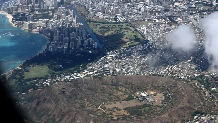
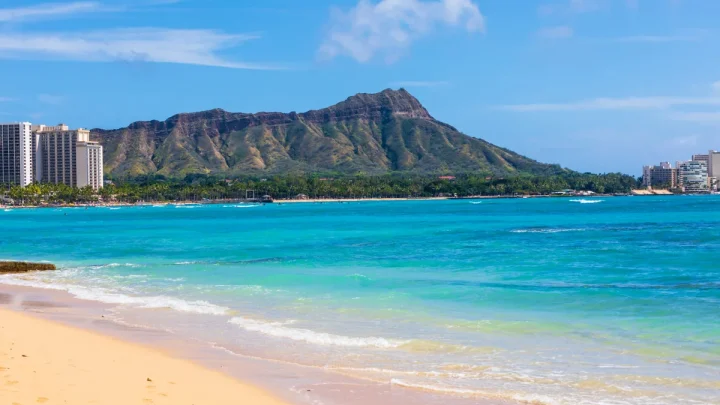
Heading eastbound toward Waikīkī and the volcanic crater is called traveling Diamond Head side. Traveling westbound toward the airport, Pearl Harbor, or the Leeward plains is called heading ʻEwa (EH-vah) side.
Reading the Trade Winds and Mountain Shadows
You can often tell your location on the island simply by observing the sky. The northeast trade winds bring clouds against the windward side of the Koʻolau range, causing frequent brief showers and lush green valleys.
If you drive west through the central valley into the leeward rain shadow, the clouds thin out rapidly and the landscape becomes drier and sunnier.
Frequently Asked Questions About Oahu’s Location
Is Oahu the same as the Big Island?
No, Oahu and the Big Island are completely different islands. The Big Island (officially named the Island of Hawaiʻi) sits roughly 150 miles southeast of Oahu. The Big Island is much larger in land area, but Oahu has a significantly higher population and houses the state capital.
Can you drive or take a ferry from Oahu to Maui?
You cannot drive or take a passenger ferry between Oahu and Maui. There are no bridges or commercial passenger ferries connecting the Hawaiian islands across the deep ocean channels. Traveling from Oahu to Maui requires booking a 35-minute inter-island flight.
What ocean is Oahu located in?
Oahu is located in the North Pacific Ocean within the Polynesian Triangle. It sits roughly 2,400 miles southwest of the United States mainland and roughly 3,850 miles east of Japan.
Is Honolulu a city or an island?
Honolulu is a city located on the south shore of the island of Oahu. It is also the state capital and the administrative center of Honolulu County, which encompasses the entire island of Oahu.
Which side of Oahu is best to stay on?
The best side depends on your travel goals. The South Shore (Waikīkī) is ideal for dining, shopping, and nightlife. The Windward Coast and North Shore offer quieter, scenic, and surf-oriented stays, while the Leeward Coast provides sunny resort areas like Ko Olina.

Similar Posts