How Many Acres Is Oahu? Exact Island Size & Land Area
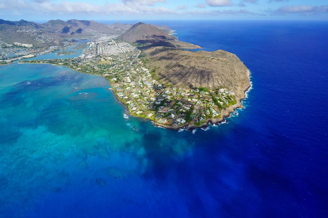
If you are planning a trip, researching real estate, or studying Hawaiian geography, you might wonder how many acres is Oahu in total. The physical size of the island shapes everything from daily traffic flow to local housing availability.
According to official records from the U.S. Census Bureau, the island of Oahu covers approximately 382,144 dry land acres. That land base supports nearly one million residents along with millions of annual visitors.
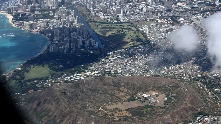
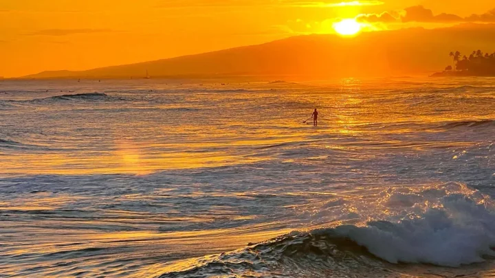
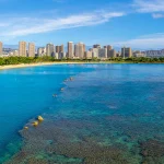
Image source: Web (Bing) / pexels.com (Web image (fair-use with source credit))
Quick Answer
Oahu covers 382,144 acres of dry land. That equals roughly 597 square miles. Total area reaches 386,560 acres when counting inland water.
It is the third-largest Hawaiian island. Over 70 percent of this land is protected.
The Quick Answer: Oahu’s Exact Acreage and Land Dimensions
When measuring geographic landforms, the numbers shift slightly depending on whether you count inland waterways. Oahu has several significant bodies of water, including Pearl Harbor, Kaneohe Bay fishponds, and the Ala Wai Canal.
Dry Land vs. Total Geographic Area
Official geographic surveys distinguish between pure land area and total administrative territory. The dry land area of Oahu is precisely 382,144 acres (597.1 square miles).
When you include inland water features, the total area expands to roughly 386,560 acres (604 square miles). Coastal lagoons and harbor channels account for the difference. For most land use, zoning, and real estate purposes, planners rely on the dry land figure.
Converting Square Miles to Acres
Converting square miles to acres requires multiplying the square mileage by 640. One standard square mile contains exactly 640 acres.
- 597.1 square miles of dry land multiplied by 640 equals 382,144 acres.
- 6.9 square miles of inland water multiplied by 640 equals 4,416 acres.
- 604.0 total square miles multiplied by 640 equals 386,560 total acres.
These standardized conversions help researchers compare Oahu with other regions accurately.
| Metric Type | Square Miles | Total Acres | Percentage of Island |
|---|---|---|---|
| Dry Land Area | 597.1 | 382,144 | 98.86% |
| Inland Water Area | 6.9 | 4,416 | 1.14% |
| Total Island Footprint | 604.0 | 386,560 | 100.00% |
Topography and Terrain: Where Those Acres Actually Sit
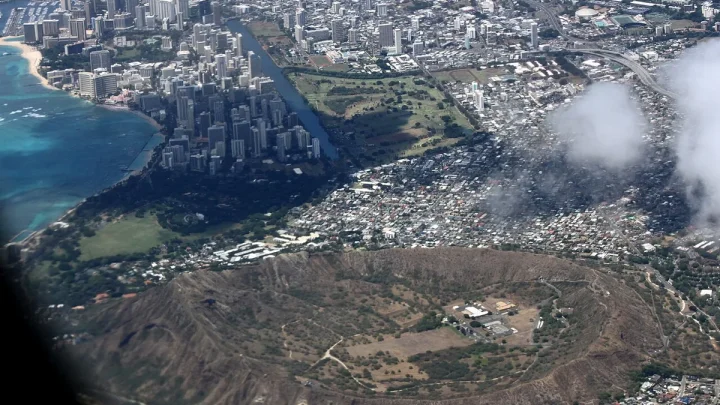
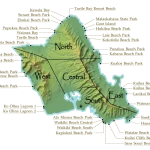
Not all of Oahu's 382,144 acres are flat or usable. The island was formed by two separate shield volcanoes, creating distinct mountain ridges that dictate where people can live and travel.
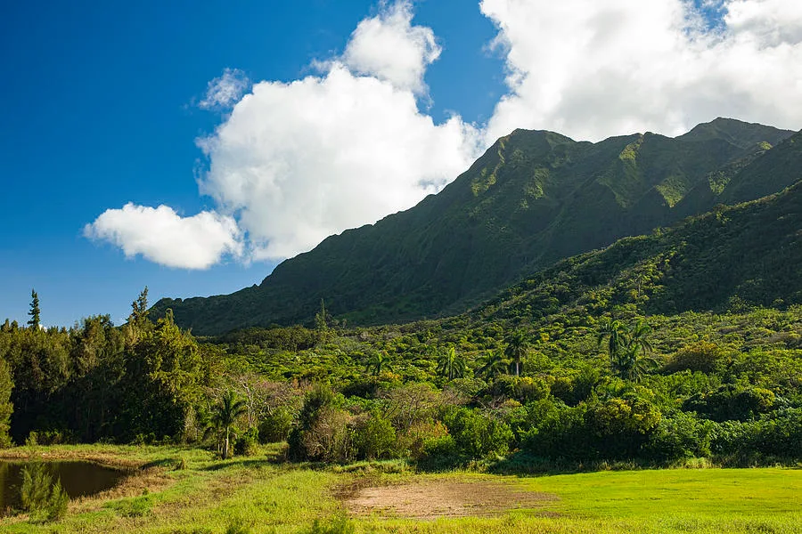
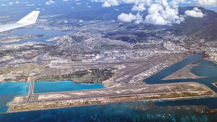
Image source: Bing (Web (fair-use with source credit))
The Two Volcanic Ridges: Koʻolau and Waiʻanae
The Koʻolau Range runs along the eastern Windward side of the island. It spans roughly 37 miles from north to south. These mountains feature sheer cliffs, known locally as pali, carved by millions of years of wind and rain.
The Waiʻanae Range sits on the western Leeward side. It is older and taller than the Koʻolau Range. Mount Kaʻala, located in the Waiʻanae Range, is Oahu's highest peak at 4,025 feet.
Together, these steep mountain ranges account for more than a third of the island's total acreage.
Central Oahu Plain and Coastal Lowlands
Between the two mountain chains lies the Central Oahu Plain. This plateau stretches from Pearl Harbor in the south all the way to Haleiwa on the North Shore.
Historically, this central plateau served as the heart of Oahu's pineapple and sugarcane production. Today, it hosts growing residential communities like Mililani and Kapolei. The remaining acres form narrow coastal strips where towns like Waikiki, Kailua, and Haleiwa sit.
The Usable Footprint: How Oahu’s 382,000 Acres Are Divided
To understand land usage on Oahu, look at the state regulatory system. Hawaii manages all private and public acreage under strict zoning laws.
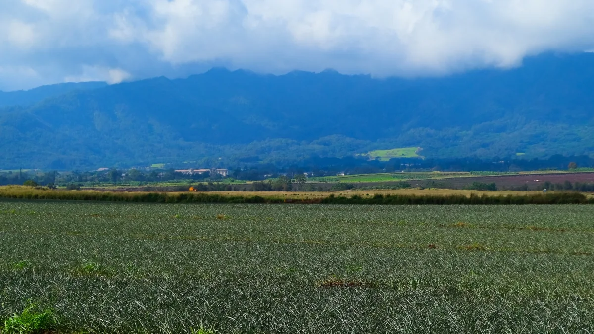
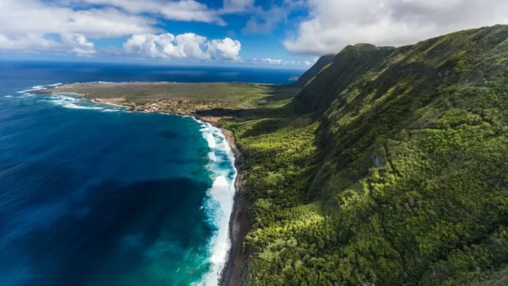
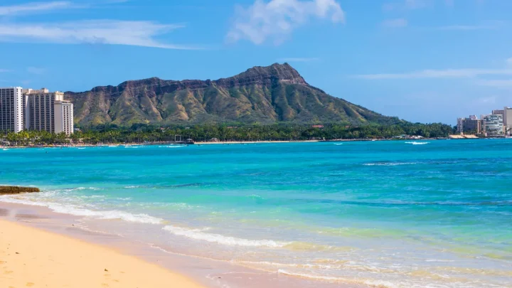
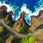
Image source: Web (Bing) / hawaiiactivities.com (Web image (fair-use with source credit))
State Land Use Classifications: Urban, Agriculture, and Conservation
The Hawaii Land Use Commission divides the entire state into four distinct land use districts. As of 2026, Oahu's 382,144 acres break down into three primary classifications:
- Conservation District (approx. 156,000 acres / 40.8%): Protected watersheds, forest reserves, and steep ridgelines. Building here is heavily restricted.
- Agricultural District (approx. 128,000 acres / 33.5%): Farmland, ranch operations, and open green space in Central Oahu and the North Shore.
- Urban District (approx. 98,000 acres / 25.6%): Residential neighborhoods, commercial centers, industrial parks, and resort developments.
- Rural District (under 144 acres / <0.1%): A tiny sliver of mixed residential-small farm use.
Because roughly 74 percent of the island is locked in conservation or agricultural zoning, development is concentrated on the remaining urban land.
Military Holdings and Federal Land Allocations
The federal government controls a significant share of Oahu's acreage. Active military installations include Joint Base Pearl Harbor-Hickam, Schofield Barracks, Marine Corps Base Hawaii, and the Makua Military Reservation.
In total, the Department of Defense manages roughly 85,000 acres on Oahu. That equals more than 22 percent of the island's total land area. When you combine military holdings with state conservation parcels, the amount of private land available for civilian use shrinks dramatically.
Putting Oahu’s Size in Perspective: Island and Mainland Comparisons
Oahu is often called "The Gathering Place" because it holds roughly 70 percent of Hawaii's total population. Despite holding the largest population, it is far from the largest island in the archipelago.
How Oahu Measures Up to the Neighbor Islands
Oahu ranks third in physical size among the main Hawaiian islands. It is significantly smaller than the Big Island and Maui, but larger than Kauai, Molokai, and Lanai.
| Hawaiian Island | Dry Land Acres | Square Miles | Size Rank |
|---|---|---|---|
| Hawaii (Big Island) | 2,577,000 | 4,028 | 1 |
| Maui | 465,000 | 727 | 2 |
| Oahu | 382,144 | 597 | 3 |
| Kauai | 353,000 | 552 | 4 |
| Molokai | 165,000 | 260 | 5 |
| Lanai | 90,000 | 141 | 6 |
The Big Island is large enough to fit six Oahu-sized landmasses within its borders with space to spare.
Comparing Oahu to Familiar Mainland Metro Areas
Mainland visitors often find that Oahu feels much bigger or much smaller than expected, depending on their home base.
- Los Angeles County: Spans roughly 2.6 million acres. Oahu could fit inside LA County nearly seven times.
- Rhode Island: Covers about 668,000 dry land acres. Oahu is roughly 57 percent the size of the smallest US state.
- Jacksonville, Florida: Covers roughly 474,000 dry land acres, making the city limits of Jacksonville alone larger than the entire island of Oahu.
These comparisons highlight why Oahu's high population density creates intense land use debates across the state.
Why Island Acreage Feels Different in Real Life
Driving around Oahu takes longer than you might guess based purely on its 382,144-acre footprint. The physical layout forces roads to wrap around natural barriers rather than cutting through them in straight lines.
The Ahupuaʻa System: Why Microclimates Matter More Than Size
Ancient Hawaiians managed land through the ahupuaʻa system. These were wedge-shaped land divisions that extended from the mountain peaks down to the outer coral reef. Each division gave local communities access to timber in the upland rainforest, fertile soil in the valleys for taro farming, and fishing grounds along the shore.
Because the mountains block incoming trade winds, Oahu's acreage contains drastically different microclimates. The Windward coast receives regular rainfall that keeps the valleys lush and green. Just a few miles west across the mountain ridge, the Leeward coast receives very little rain and stays dry and sunny year-round.
Drive Times, Density, and the Illusion of Vast Open Space
You cannot drive directly across the Koʻolau Range except through three designated tunnel routes: the Pali Highway, Likelike Highway, and Interstate H-3. The rest of the mountain chain forms an unbroken, 2,000-foot-tall wall of rock.
To travel from the North Shore down to Honolulu, you must route around the mountains through the central plain. A 25-mile drive during peak rush hours can take over an hour. This geographic bottleneck makes the island feel significantly larger and denser to drivers than a comparable 597-square-mile grid on flat mainland terrain.
Common Misconceptions About Oahu's Total Size and Boundaries
A common mistake when researching Oahu's size is confusing the physical island with the administrative boundaries of its county government. These two metrics produce vastly different numbers.
The Honolulu County Administrative Boundary Quirk
The City and County of Honolulu encompasses the entire island of Oahu. However, the legal county boundaries also include the Northwestern Hawaiian Islands.
These uninhabited atolls stretch more than 1,000 miles northwest toward Midway Atoll. When federal databases report the total jurisdiction area for Honolulu County, they often include millions of acres of surrounding ocean waters. For actual dry land measurements, stick strictly to the 382,144-acre island figure.
Usable vs. Non-Buildable Land
Another frequent error is assuming that all 382,144 acres can support housing, businesses, or infrastructure. Severe physical constraints eliminate massive sections of the island from future development.
- Steep Slopes: Vertical volcanic pali walls make construction impossible across broad swaths of the Windward and Leeward sides.
- Watershed Preserves: Ridge tops catch freshwater that recharges Oahu's underground basalt aquifers, requiring total legal protection.
- Flood Zones and Tsunami Evacuation Zones: Low-lying coastal acres carry strict building codes that limit density.
In practice, only a fraction of Oahu's total land area can realistically support the island's urban infrastructure.
Frequently Asked Questions About Oahu’s Land Area
How many square miles is the island of Oahu?
Oahu covers 597.1 square miles of dry land. When you include inland bodies of water such as Pearl Harbor and the Ala Wai Canal, the total area increases to 604 square miles.
Is Oahu the biggest island in Hawaii?
No, Oahu is the third-largest Hawaiian island. Hawaii Island (the Big Island) is the largest at roughly 2,577,000 acres, and Maui ranks second at roughly 465,000 acres.
How much of Oahu is protected land?
Over 70 percent of Oahu is protected under state zoning. Roughly 40.8 percent (156,000 acres) is zoned for conservation, and another 33.5 percent (128,000 acres) is zoned strictly for agriculture.
How long does it take to drive around Oahu?
Driving the 120-mile perimeter route takes between four and six hours without stops. Traffic conditions through urban Honolulu and single-lane stretches on the North Shore can increase travel times significantly.

Similar Posts