When Is High Tide in Oahu? Complete Daily Tide Guide
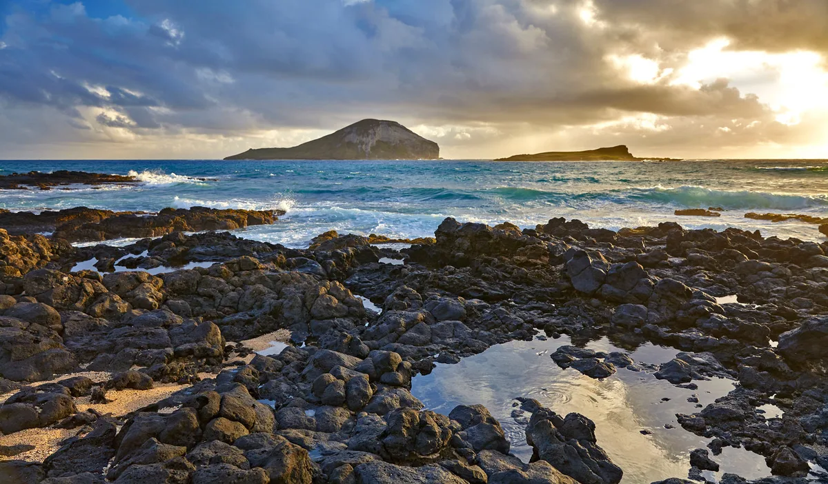
If you are wondering when is high tide Oahu experiences each day, the answer shifts continuously. High tide does not happen at a set hour because the island follows a lunar cycle rather than a standard clock.
Oahu experiences two high tides every 24 hours and 50 minutes. Water level records show that the average tidal range across the island is roughly 1.5 to 2.2 feet. Finding the exact timing requires checking local station data for your specific shore.
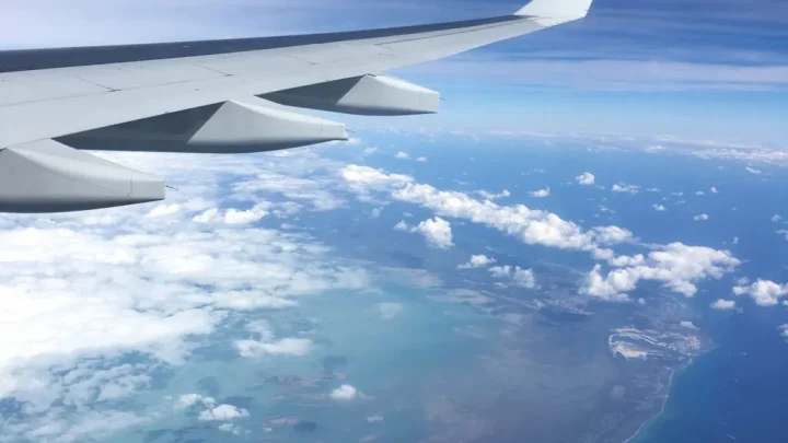
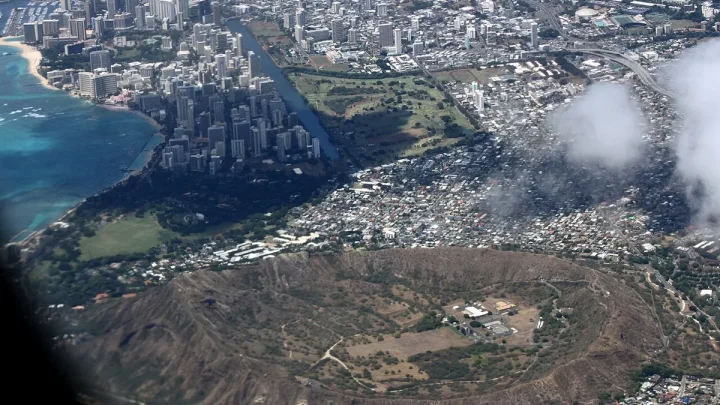
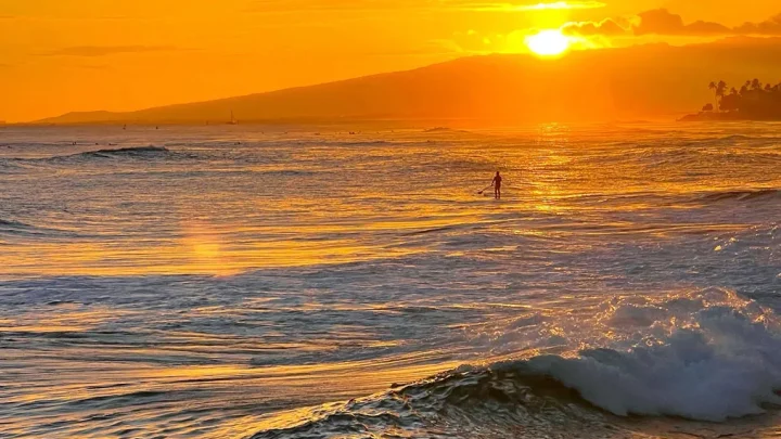
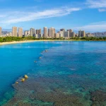
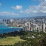
Image source: Web (Bing) / shorelinehotelwaikiki.com (Web image (fair-use with source credit))
Quick Answer
High tide on Oahu changes every day. It occurs roughly 50 minutes later each day. Oahu has two high tides daily.
One high tide is taller than the other. Exact times vary by coast. Check local tide tables for your beach.
How Oahu's Daily Tide Cycle Actually Works
Oahu's ocean levels follow a mixed semidiurnal tide pattern. This means the island experiences two high tides and two low tides within each lunar day.
These two daily highs are never identical in height. One peak is the Higher High Water (HHW), while the second is the Lower High Water (LHW). A similar difference happens with the daily low tides.
The Mixed Semidiurnal Pattern Explained
The moon's gravitational pull creates two tidal bulges on opposite sides of the Earth. As Oahu rotates through these bulges, the coastline passes through unequal water depths.
One high tide might measure 2.1 feet above the standard chart baseline. The next high tide about 12 hours later might only reach 1.3 feet. This difference influences how much water covers shallow coral reefs across the island.
The 50-Minute Daily Shift Rule
A complete tidal day lasts 24 hours and 50 minutes. This extra 50 minutes occurs because the moon orbits Earth in the same direction that Earth rotates.
If high tide peaks at 8:00 AM today, expect the corresponding peak around 8:50 AM tomorrow. Keep this 50-minute forward jump in mind whenever you plan multi-day beach outings.
NOAA Tide Stations on Oahu: Regional Water Level Differences
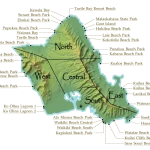
You cannot use a single tide prediction for the entire island. Oahu's coastal geography creates timing offsets between different shorelines.
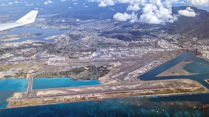
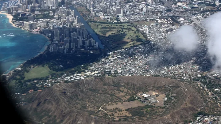
Image source: Bing (Web (fair-use with source credit))
Official marine observations are managed by the NOAA Tides and Currents network. Four primary reference stations cover the main sectors of the island.
| Station Name | NOAA Station ID | Island Coast | Typical Time Offset vs. Honolulu |
|---|---|---|---|
| Honolulu Harbor | 1612340 | South Shore | Baseline (0 min) |
| Mokuoloe (Coconut Island) | 1612480 | Windward Coast | +30 to +45 min |
| Haleiwa (Waialua Bay) | 1612668 | North Shore | -10 to +15 min |
| Waianae Boat Harbor | 1612441 | Leeward Coast | -5 to +10 min |
South Shore: Honolulu Harbor and Waikiki
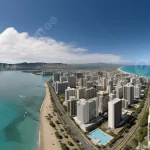
Honolulu Harbor serves as the primary benchmark station for Oahu. Water level shifts here dictate conditions from Diamond Head through Ala Moana Beach Park. Tides here strongly dictate swimming depth over the inner reef flats.
North Shore: Haleiwa and Waialua Bay
The Haleiwa gauge tracks North Shore water levels. High tides here shift slightly compared to the south. During winter months, large North Pacific swells frequently create water surges that ride on top of these predicted high tides.
Windward Coast: Kaneohe Bay and Mokuoloe
Station 1612480 at Mokuoloe monitors Kaneohe Bay. Water entering the barrier reef system experiences a noticeable lag. High tide inside the bay often lands 30 to 45 minutes after the open ocean peak outside.
Leeward Coast: Waianae and Ko Olina
The western coastline follows the open ocean progression closely. Stations near Waianae show tidal swings that mirror Honolulu Harbor with only minimal minute-to-minute variance.
Decision Workflow: Finding the Exact High Tide for Your Coast Today
To pinpoint the exact water level for your day on the water, follow this simple selection process.
Start: Where are you heading on Oahu?
 │
 ├── South (Waikiki / Hanauma) ──> Check Station 1612340 (Honolulu)
 ├── Windward (Kaneohe / Kailua) ─> Check Station 1612480 (Mokuoloe)
 ├── North (Haleiwa / Shark's Cove) ─> Check Station 1612668 (Haleiwa)
 └── Leeward (Waianae / Ko Olina) ──> Check Station 1612441 (Waianae)
 │
 └── Next Step: Determine your target activity
      ├── Snorkeling / Shallow Reefs ──> Plan during High Tide window
      ├── Tide Pools / Wide Beach Walk ─> Plan during Low Tide window
      └── Kaneohe Sandbar Walk ────────> Plan during Low Tide window
Step 1: Select Your Closest Active Reference Station
First, match your destination to the nearest official tide gauge. If you are heading to Lanikai or Kailua, rely on the Mokuoloe station. If you are staying in Waikiki, pull the Honolulu Harbor data.
Step 2: Identify Higher-High vs. Lower-High Water
Look at the daily curve on the chart. Pinpoint which peak is the Higher High Water. That primary peak provides maximum depth over shallow reefs, making it the safest window for boat hulls and snorkel fins.
Step 3: Factor in Seasonal Swell and Atmospheric Lift
Tide tables only predict astronomical movement. Large ocean swells, strong trade winds, and low atmospheric pressure push extra water onto the shore. High surf warnings can easily raise local water levels an extra foot above printed charts.
Matching High Tide to Your Island Activities
The ideal tide depends entirely on what you want to do in the water. High water creates great conditions for some spots while ruining others.
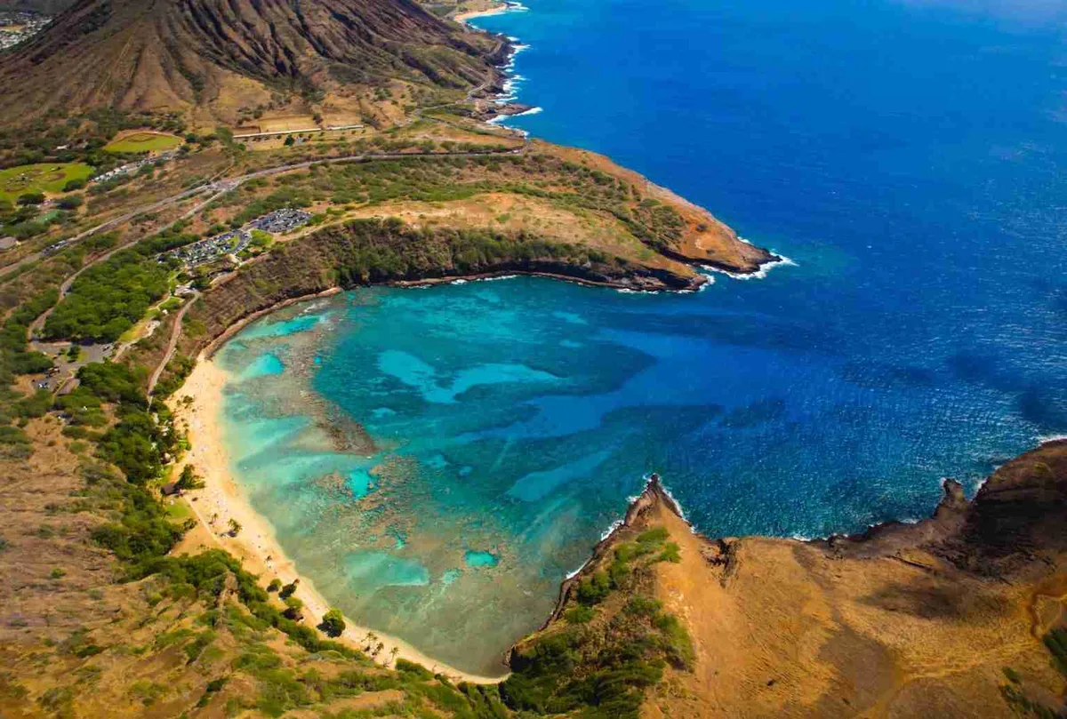
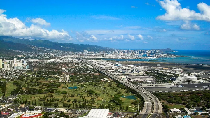
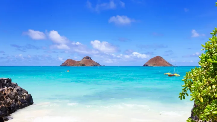
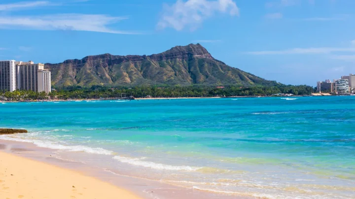
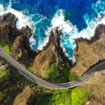
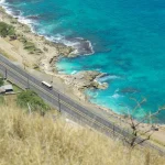
Image source: Web (Bing) / oahuactivities.com (Web image (fair-use with source credit))
Snorkeling and Diving: Hanauma Bay, Shark's Cove, and Electric Beach
High tide is usually the best time for snorkeling shallow reefs. At Hanauma Bay and Shark's Cove, high water adds two extra feet of clearance over sharp coral heads. This prevents accidental scrapes and reduces kicked-up sand, which keeps visibility clear.
Surfing: Reef Breaks vs. Beach Breaks
Surfers monitor tide stages closely. Shallow reef passes like Ala Moana Bowls need mid-to-high tide to avoid exposed coral heads. Beach breaks may back off and turn mushy if the tide gets too deep.
Beach Days and Sandbars: Lanikai, Waikiki, and Kaneohe Sandbar
If you want expansive dry sand at narrow beaches like Lanikai, target low to mid tide. At high tide, water can reach the vegetation line. Conversely, visiting the Kaneohe Sandbar requires low tide if you want to walk on exposed sand in the middle of the bay.
Tide Pooling and Rocky Coast Exploration
Exploring tide pools at Makapu'u or Pupukea requires low tide. High tide sends breaking waves across these rock shelves, making them slick and hazardous. Always explore tide pools while the tide is dropping, not rising.
Oahu Tide Chart Reference: Heights, Ranges, and Extremes
Oahu is considered a micro-tidal environment. This means the gap between high and low water is relatively small compared to mainland coastlines.
Understanding Chart Datum (MLLW) in Hawaii
Hawaii tide predictions measure water height relative to Mean Lower Low Water (MLLW). When a chart states high tide is +1.8 feet, it means the water will rise 1.8 feet above the average lower low water mark. As of 2026, standard navigation charts across the islands continue to use this MLLW baseline.
King Tides and Perigean Spring Tides on Oahu
A few times each year, the moon reaches its closest point to Earth during a new or full moon. This alignment creates perigean spring tides, locally called King Tides.
King Tides push high-water levels above 2.8 to 3.0 feet MLLW. These events cause temporary coastal flooding along low-lying streets in Waikiki and Mapunapuna, even on clear, sunny days.
Mistakes to Avoid When Planning Around Oahu Tides
Planning coastal outings without checking ocean data often leads to ruined gear or ruined plans. Missing subtle shifts in island conditions creates avoidable hazards.
Assuming High Tide Occurs at the Same Time Daily
The most common mistake is assuming yesterday's tide schedule works today. Since high tide advances by about 50 minutes every 24 hours, relying on static hours will throw your timing off completely within two or three days. Always look up the exact date on official tables.
Overlooking Ocean Swell and Local Currents
Tide charts do not account for incoming ocean swell. When a massive winter swell hits the North Shore, wave run-up pushes water far past the predicted high-tide line. Always pair tide tables with active marine forecasts from the National Weather Service Honolulu office.
Stepping on Exposed Coral During Low-Tide Transitions
When high tide drops into low tide, shallow reefs become exposed. Walking across these shallow flats crushes living coral colonies and violates Hawaii Department of Land and Natural Resources protection guidelines. Maintain clearance by timing reef crossings during higher water stages.
Frequently Asked Questions About Oahu Tides
Does Oahu have two high tides every day?
Yes, Oahu experiences two high tides every 24 hours and 50 minutes. This mixed semidiurnal cycle produces one taller high tide and one lower high tide each lunar day. The exact hours shift forward continuously.
What time is high tide in Waikiki today?
High tide in Waikiki changes daily based on the lunar cycle. To find today's exact time, check NOAA Station 1612340 for Honolulu Harbor. Waikiki follows this station closely with virtually no delay.
Is high tide or low tide better for snorkeling in Oahu?
High tide is generally better for snorkeling shallow reef spots like Hanauma Bay and Shark's Cove. Higher water provides safe clearance over sharp coral heads and prevents bottom sediment from clouding the water.
What is the average tidal range on Oahu?
Oahu has a micro-tidal range averaging between 1.5 and 2.2 feet. Even during extreme King Tide events, total water swings rarely exceed 3.0 feet above standard chart datum.
Why is high tide at a different time on the North Shore?
Water movement around the island creates slight timing delays between coastlines. The North Shore at Haleiwa often experiences its peak water level slightly earlier or later than the South Shore at Honolulu Harbor.

Similar Posts