Where Is Oahu Located? Hawaii Island Map & Guide
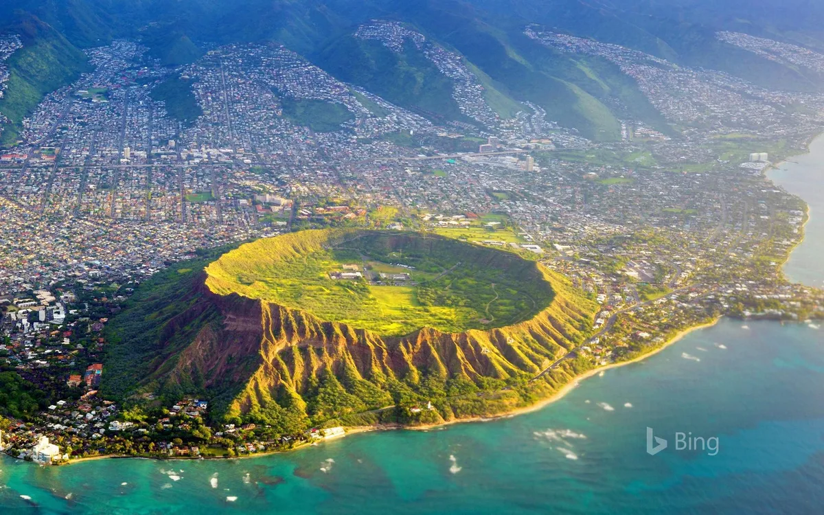
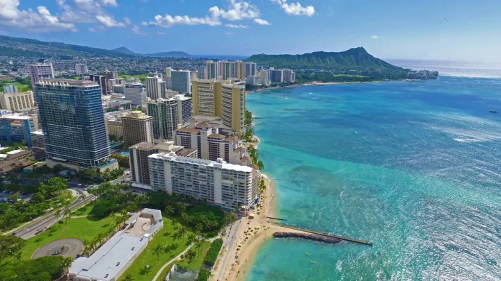
If you are planning a trip to Hawaii, you are probably wondering where is Oahu on the world map. Oahu sits in the middle of the Pacific Ocean as part of the eight main Hawaiian Islands. It is home to the state capital of Honolulu, iconic Waikiki Beach, and over two-thirds of Hawaii's total resident population.
Geographically, the island spans roughly 597 square miles at coordinates 21°28′ N, 157°59′ W. It lies more than 2,000 miles from the nearest continental landmass. Understanding its global coordinates, regional layout, and surrounding channels helps you plan your travel and navigate the island easily.
Image source: Bing (Web (fair-use with source credit))
Quick Answer: Pinpointing Oahu on the World Map
Oahu is an island in the central Pacific Ocean.
It belongs to the state of Hawaii in the United States.
The island sits roughly 2,400 miles southwest of California.
It rests between the islands of Kauai and Molokai.
Honolulu is its primary city and deepwater port.
Oahu is the third-largest Hawaiian island by land area, measuring about 44 miles long by 30 miles wide. It functions as the primary commercial, cultural, and government center of the state. As of 2026, roughly one million residents live along its 227 miles of coastline.
Where Oahu Sits in the Hawaiian Island Chain
Hawaii is an archipelago formed by hot-spot volcanism, stretching thousands of miles across the Pacific. Oahu sits in the southeastern portion of the chain, nestled directly between the older, northwestern islands and the younger, southeastern islands.
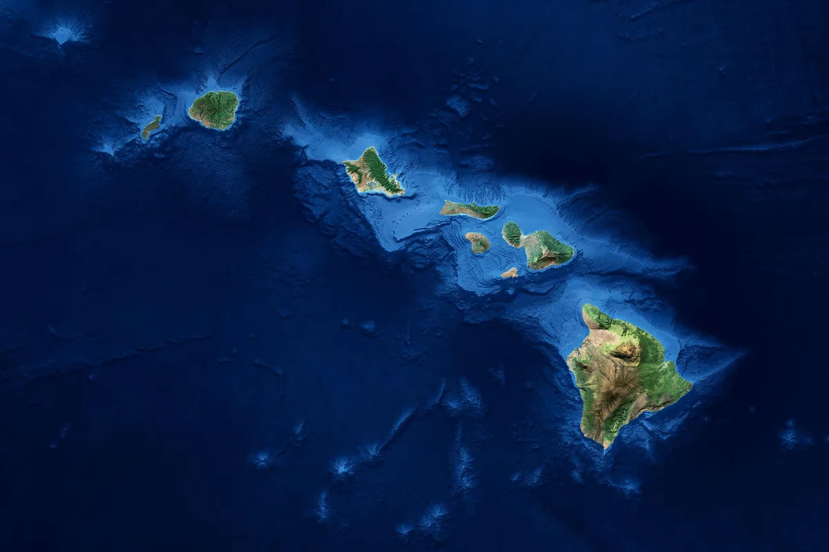
Image source: Web (Bing) / animalia-life.club (Web image (fair-use with source credit))
According to geological mapping by the U.S. Geological Survey, Oahu consists of two eroded shield volcanoes that joined over millions of years. To the northwest, across the 73-mile-wide Kauai Channel, sits the lush island of Kauai and the smaller island of Niihau.
To the southeast, the 26-mile-wide Kaiwi Channel separates Oahu from Molokai. Beyond Molokai lie Lanai, Maui, Kahoolawe, and the Island of Hawaii. This central position earned Oahu its traditional nickname, "The Gathering Place."
| Neighboring Island | Direction from Oahu | Channel Name | Channel Distance |
|---|---|---|---|
| Kauai | Northwest | Kauai Channel (Kaʻieʻie Waho) | ~73 miles (117 km) |
| Molokai | Southeast | Kaiwi Channel | ~26 miles (42 km) |
| Maui | Southeast | Past Molokai / Pailolo Channel | ~80 miles (128 km) |
| Hawaii (Big Island) | Southeast | Past Maui / Alenuihaha Channel | ~170 miles (274 km) |
Flight Times and Distances to Honolulu from Major Hubs
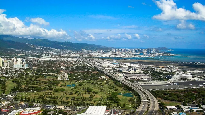
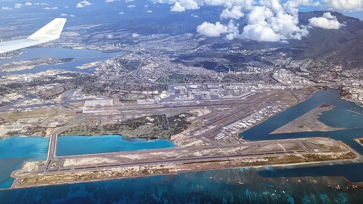
Because Oahu sits isolated in the North Pacific, reaching it requires a flight across open ocean. Daniel K. Inouye International Airport (HNL) in Honolulu serves as the central aviation gateway for the entire state.
Most transpacific routes from North America, Asia, and Oceania land directly at HNL. From the West Coast of the United States, direct flights take between 5 and 6 hours. Travel from the East Coast takes about 10 to 12 hours depending on winds and layovers.
| Departure City | Flight Distance to HNL | Average Direct Flight Time | Time Zone Offset vs. HST |
|---|---|---|---|
| Los Angeles (LAX) | ~2,556 miles | 5 hours 45 minutes | +2 to +3 hours |
| San Francisco (SFO) | ~2,398 miles | 5 hours 30 minutes | +2 to +3 hours |
| Seattle (SEA) | ~2,677 miles | 6 hours | +2 to +3 hours |
| Tokyo (NRT / HND) | ~3,850 miles | 7 hours 30 minutes | +19 hours (crosses Date Line) |
| Sydney (SYD) | ~5,060 miles | 9 hours 45 minutes | +21 hours (crosses Date Line) |
Oahu operates on Hawaii Standard Time (HST), which is UTC-10. Hawaii does not observe Daylight Saving Time. That means the time difference between Oahu and mainland locations shifts by one hour twice a year.
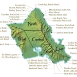
The Five Geographic Regions of Oahu (and What Defines Them)
Oahu is divided into five distinct geographic and cultural zones. Each area features unique coastal scenery, road networks, and population densities.
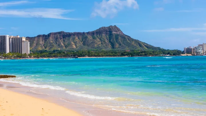
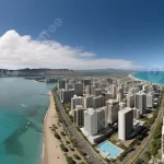
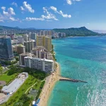
- Honolulu and the South Shore: The urban core of the island. This district contains downtown Honolulu, the historic port, and the resort beachfront of Waikiki. It houses major cultural monuments, financial districts, and the state capitol building.
- The North Shore: Famous for world-class winter surfing breaks like Waimea Bay, Sunset Beach, and the Banzai Pipeline. The region centers around the historic surf town of Haleiwa and features rural farming communities.
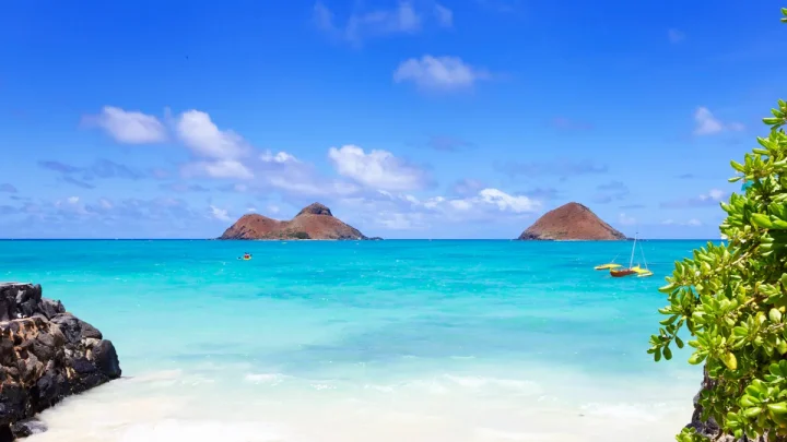
- The Windward Coast (East): Bordered by dramatic green mountain cliffs and turquoise bays. Communities like Kailua, Kaneohe, and Waimanalo sit on this lush, trade-wind-exposed side of the island.
- The Leeward Coast (West): Located on the dry, sunny side of the island. It features expanding residential zones in Kapolei, luxury resorts at Ko Olina, and rugged coastal cliffs stretching toward Kaena Point.
- Central Oahu: The plateau between Oahu's two mountain chains. It contains historic pineapple and sugarcane lands, residential hubs like Mililani, and the town of Wahiawa.
Navigating Oahu’s Microclimates and Terrain
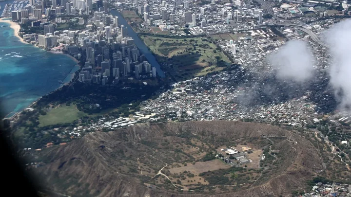
Two parallel mountain ranges define Oahu's landscape. The Koʻolau Range runs along the eastern side, and the older Waiʻanae Range anchors the western side. Mount Kaʻala in the Waiʻanae Range is the highest point on the island at 4,025 feet.
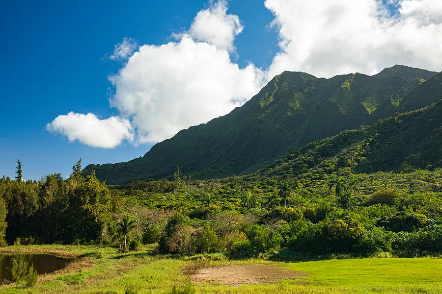
Image source: Web (Bing) / pixels.com (Web image (fair-use with source credit))
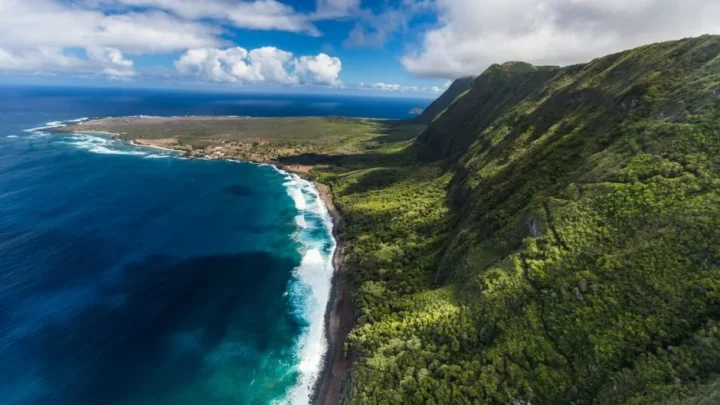
These mountain ridges interact directly with the prevailing northeast trade winds. As marine air hits the Koʻolau mountains, it rises, cools, and drops heavy rain over the Windward Coast. This creates emerald fluted cliffs and lush rainforest valleys.
By the time winds cross the island, they lose most of their moisture. As tracked by climate monitoring stations from the National Oceanic and Atmospheric Administration, the Leeward Coast receives a fraction of the rainfall seen on the Windward slopes. You can drive from a tropical rain shower in Kailua to bright, dry sunshine in Ko Olina in less than 45 minutes.
Common Geographic Mistakes Travelers Make About Oahu
One frequent error is confusing Oahu with the Island of Hawaii. The Island of Hawaii is nicknamed the Big Island, but Oahu is where most people live and land. Many travelers book hotels in Honolulu thinking they can easily drive to Hawaii Volcanoes National Park, not realizing it is on an entirely separate island 170 miles away across open water.
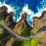
Another common mistake involves underestimating driving times on Oahu itself. While the island is only 44 miles long, the highways do not form a complete ring around the coast. The rugged cliffs of Kaena Point on the northwest tip prevent road construction between the North Shore and the Leeward Coast.
       [ North Shore: Haleiwa ]
                 |
     (No Road at Kaena Point)
                 |
[ Leeward Coast ]   [ Central Oahu ]   [ Windward Coast ]
       \                 |                 /
        \--->-----[ Honolulu / Waikiki ]--<---/
To travel between the west side and the north shore, you must drive inland through Central Oahu. Coastal two-lane roads like Kamehameha Highway also experience heavy traffic bottlenecks near popular beaches. Planning your routes around rush hours and geographic barriers saves hours of driving.
Frequently Asked Questions About Oahu’s Location
Is Oahu the same as the Big Island?
No, Oahu and the Big Island are two distinct islands. Oahu is home to Honolulu, Waikiki, and the majority of the state's population. The Big Island, officially named the Island of Hawaii, sits southeast of Oahu and is famous for its active volcanoes.
What ocean is Oahu located in?
Oahu is located in the North Pacific Ocean. It sits within Polynesia, roughly 2,400 miles southwest of the continental United States and about 3,800 miles southeast of Japan. It is one of the most isolated island groups on the planet.
Can you drive all the way around Oahu?
No, you cannot drive in a continuous circle around the entire perimeter of Oahu. Kaena Point on the westernmost tip has no paved roads due to protected wilderness areas and steep volcanic terrain. You must divert inland through Wahiawa to travel between the North Shore and the Leeward Coast.
What is the closest island to Oahu?
Molokai is the closest major island to Oahu. It sits approximately 26 miles southeast across the Kaiwi Channel. On clear days, you can easily spot the silhouette of Molokai from Oahu's southeastern points like Sandy Beach and the Makapuʻu Point Lighthouse trail.
Which side of Oahu has the best weather?
The Leeward Coast on the west and the South Shore around Honolulu have the driest and sunniest weather. The eastern Windward Coast receives more trade-wind rainfall, making it noticeably greener and cooler, while the North Shore sees larger ocean swells and variable winter weather.

Similar Posts