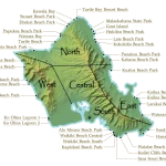
Why Is Oahu So Populated? The Real Reasons Explained
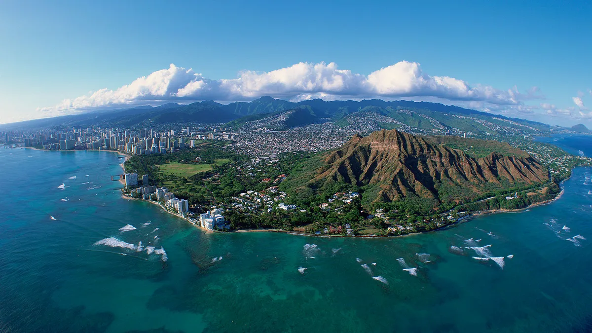
If you look at a map of Hawaii, the population distribution looks completely backwards. Most people wonder why is oahu so populated when it is only the third-largest island in the chain. The Big Island has vastly more physical space, yet Oahu holds the vast majority of the state's residents.
According to demographic records and data from the U.S. Census Bureau, nearly one million people live on Oahu across just 597 square miles. That means roughly 70 percent of Hawaii's entire population shares less than 10 percent of its total landmass.
Understanding how this island became the undisputed center of gravity requires looking at harbors, military strategy, and deliberate post-war planning.
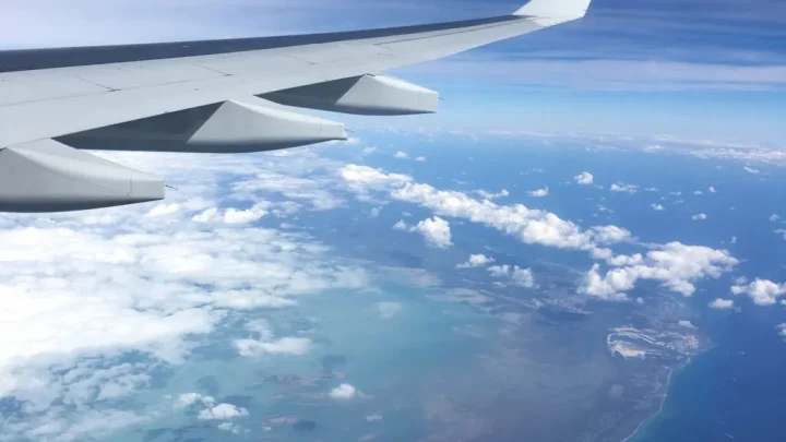
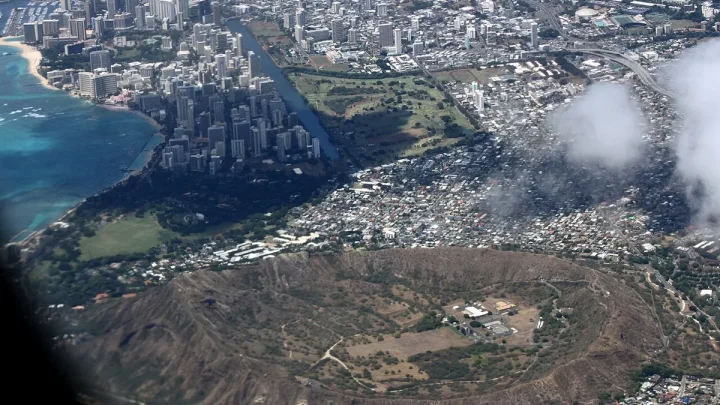
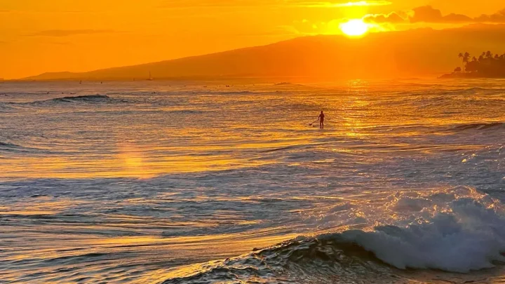
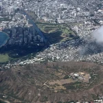
Image source: Web (Bing) / windows10spotlight.com (Web image (fair-use with source credit))
Quick Answer
🌺 Local Island Guide Quick Answer
Oahu is so populated because of its deep natural harbors, military installations, and centralized economy. Honolulu Harbor made the island Hawaii's trading center in the 1800s. Commercial networks concentrated jobs and infrastructure in the urban core.
The U.S. military later built major Pacific defense hubs here. Modern statewide zoning laws subsequently restricted dense suburban development on the Neighbor Islands.
The Core Reality: How 70% of Hawaii Ended Up on 10% of Its Land
Oahu is home to roughly one million permanent residents. When you add tourists on any given day, the island carries an enormous density load. The overall density sits above 1,600 people per square mile.
In parts of urban Honolulu, that figure easily tops 5,000 residents per square mile.
By comparison, Hawaii Island (the Big Island) spans over 4,000 square miles but holds fewer than 210,000 people. You could drop Oahu into the Big Island nearly seven times over. Yet people stay concentrated on Oahu because of jobs, infrastructure, and access.
Economists call this pattern an agglomeration economy. Once an area builds the primary port, roads, and government seats, businesses naturally follow. Specialized workers move where the businesses are, which attracts even more companies.
Over a single century, this compounding effect made Oahu the undisputed economic engine of the archipelago.
The Harbor Effect: How Geography Dictated Power in 1845
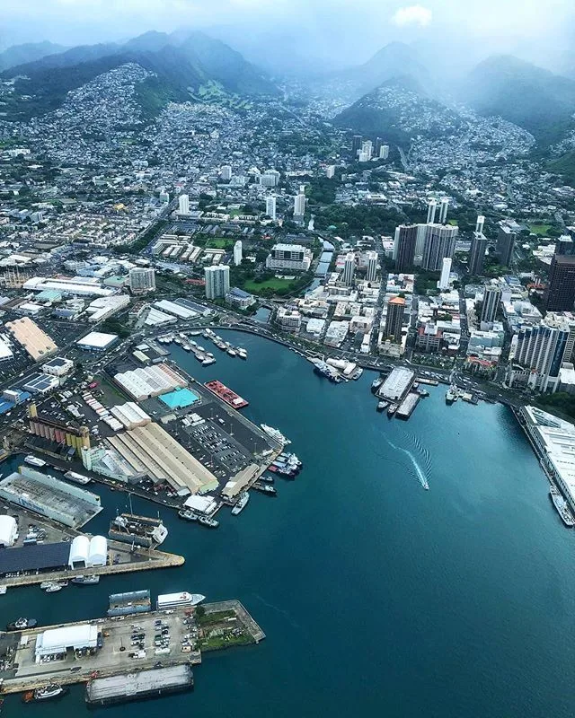
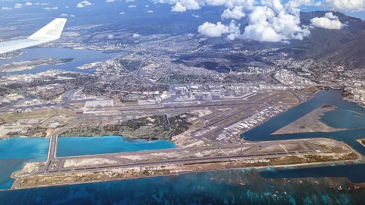
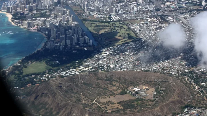
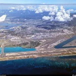
Image source: Bing (Web (fair-use with source credit))
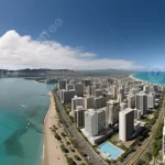
Long before high-rises lined Waikiki, geography decided Oahu's destiny. Most Hawaiian islands feature rugged shorelines, shallow reefs, and open bays exposed to rough ocean swells. Oahu possessed a rare natural feature: a deep, protected basin known today as Honolulu Harbor.
In 1845, King Kamehameha III permanently moved the royal capital from Lahaina, Maui, to Honolulu. Lahaina was an open roadstead where ships anchored in unprotected waters. Honolulu offered a safe, calm channel sheltered by Mamala Bay.
Merchant ships, whalers, and foreign traders rushed to dock there.
Trade quickly concentrated wealth and political authority around the harbor docks. Whaling fleets bought provisions, merchants set up permanent trading posts, and warehouses sprang up along the waterfront. By the late 19th century, every major commercial route in the Pacific connected directly to Honolulu.
The Military Super-Hub: Strategic Geometry in the Pacific
The United States recognized Oahu's geographic value decades before annexation in 1898. Just west of Honolulu lay Puuloa, an expansive inland lagoon known today as Pearl Harbor. It offered an unparalleled sheltered anchorage for an entire naval fleet.
Following the overthrow of the Hawaiian Kingdom, the federal government transformed Oahu into a Pacific fortress. The military built Joint Base Pearl Harbor-Hickam, Schofield Barracks, Marine Corps Base Hawaii in Kaneohe, and Fort Shafter. These installations created a permanent influx of service members, defense contractors, and administrative personnel.
Today, Indo-Pacific Command oversees tens of thousands of active-duty troops and civilian defense employees stationed on the island. Military spending represents one of the largest economic pillars in the state. Base housing, support services, and commercial supply lines permanently locked hundreds of thousands of residents into Central Oahu and the Leeward Coast.
The Plantations, The "Big Five," and Economic Agglomeration
During the late 19th and early 20th centuries, sugar and pineapple dominated the islands. While cane fields covered Maui, Kauai, and the Big Island, the corporate brains and financing stayed firmly on Oahu. Five dominant corporations, known as the "Big Five," ran the territory's commerce from downtown Honolulu.
These companies controlled shipping, banking, wholesale goods, and insurance. Tens of thousands of immigrant laborers arrived from Japan, the Philippines, China, Portugal, and Puerto Rico. While many initially worked rural plantations across the islands, their families steadily moved to Honolulu for higher wages, better schools, and commercial trades.
As plantation agriculture declined after World War II, rural economies on other islands shrank. Honolulu, however, diversified into tourism, construction, and corporate services. Workers migrated from neighbor islands to Oahu to find stable careers, cementing the capital's population lead.
Statehood, Act 187, and the Law That Locked the Neighbor Islands in Time
When Hawaii achieved statehood in 1959, lawmakers faced rapid development pressures. To prevent uncontrolled urban sprawl from swallowing farmland and forests, the state legislature passed the Hawaii Land Use Law of 1961, known as Act 187. It created the first statewide zoning framework in the nation.
Administered by the State of Hawaii Land Use Commission, the law divided all land into four strict categories:
- Urban: Land designated for housing, commercial buildings, and industrial ports.
- Agricultural: High-yield soil preserved for farming, livestock, and open crops.
- Conservation: Protected watersheds, mountain ranges, and fragile ecosystems.
- Rural: Low-density residential parcels mixed with small farms.
The commission kept urban designations heavily concentrated on Oahu, particularly in Honolulu and the Ewa Plain. Neighbor islands remained overwhelmingly locked in agricultural and conservation classifications. As of 2026, strict zoning still limits large-scale housing construction on Kauai, Maui, and the Big Island, keeping population growth channeled into Oahu.
The Infrastructure Flywheel: Healthcare, Cargo, and Higher Education
Basic logistics keep modern Hawaii tied directly to Oahu. Sand Island in Honolulu handles over 80 percent of all imported goods entering the state. Cargo ships unload containers in Honolulu, and smaller Young Brothers barges ship goods outward to neighbor island ports.
This hub-and-spoke shipping model adds freight markups and delays to outer islands, keeping living costs higher and industrial growth limited outside Oahu.
Specialized services follow the same pattern. Oahu houses the state's major advanced medical facilities, including The Queen's Medical Center and Kapiolani Medical Center for Women and Children. Neighbor island residents regularly fly to Honolulu for specialized cancer treatments, pediatric care, and major surgeries.
Higher education and high-paying jobs also cluster here. The University of Hawaii at Manoa anchors major research funding, state government headquarters, and corporate legal offices. Families often move to Oahu simply because it offers reliable specialized services that rural islands cannot support.
Oahu vs. Neighbor Islands: Land Mass, Population, and Economic Load
The imbalance between island size and resident headcount becomes obvious when you look at the raw numbers. Land area does not dictate where people live across the island chain.
| Island | Land Area (Sq Miles) | Approximate Population | Share of State Population | Major Economic Driver |
|---|---|---|---|---|
| Oahu | 597 | ~1,000,000 | ~69% | Military, Government, Tourism, Trade |
| Hawaii Island | 4,028 | ~206,000 | ~14% | Agriculture, Tourism, Astronomy |
| Maui | 727 | ~165,000 | ~11% | Tourism, Healthcare, Construction |
| Kauai | 552 | ~73,000 | ~5% | Tourism, Agriculture, Defense Research |
| Molokai | 260 | ~7,400 | <1% | Subsistence, Small Agriculture |
| Lanai | 141 | ~3,100 | <1% | Luxury Tourism, Hospitality |
Kauai and Maui enforce strict height limits and aggressive anti-sprawl ordinances to protect rural character. Hawaii Island has abundant land, but active lava zones and unpaved volcanic terrain make extensive utility grids costly. Oahu absorbed the density so other islands could remain largely rural.
What Oahu's Population Density Means for Daily Life (and What's Changing)
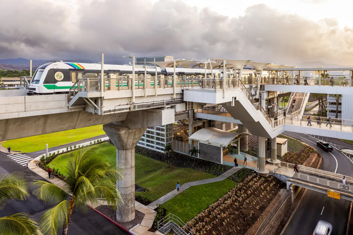
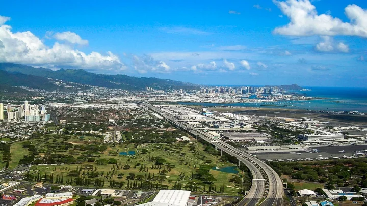
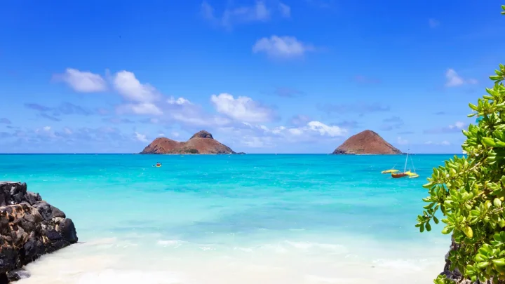
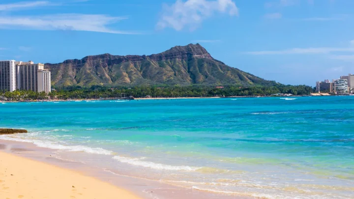
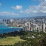
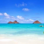
Image source: Web (Bing) / adamtaylorphotos.com (Web image (fair-use with source credit))
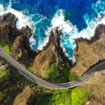
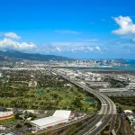
High density creates clear everyday challenges. Traffic bottlenecks along the Interstate H-1 corridor are notorious during morning and evening commutes. Mountain ranges squeeze east-west travel into narrow highway passes, leaving drivers with limited alternate routes.
To handle this load, the city built Skyline, Hawaii's first elevated rail transit system. The line connects growing residential hubs in East Kapolei to central employment centers. The state also designated Kapolei as the "Second City" to distribute municipal offices and commercial jobs closer to Leeward neighborhoods.
High housing costs and limited land have pushed some multi-generational families to relocate to the continental mainland. Even with outmigration pressures, Oahu remains the economic core of the Pacific. Its established shipping networks, military bases, and urban infrastructure guarantee that the island will stay Hawaii's primary population center for decades to come.
Frequently Asked Questions About Oahu's Population
Why is Oahu called The Gathering Place?
Oahu earned the traditional nickname "The Gathering Place" because Hawaiian royalty and chiefs regularly met on the island for political councils and trade. Its central location among the islands made it a natural meeting ground long before Western contact.
Why doesn't the Big Island have more people than Oahu?
Hawaii Island has rugged volcanic terrain, active lava flow zones, and limited deepwater harbor infrastructure. Building water lines, electrical grids, and paved highways across vast expanses of raw basalt is expensive. These physical barriers naturally limit dense urban development.
Is Oahu's population growing or shrinking?
Oahu's population has plateaued and seen slight declines in recent years due to high housing costs and mainland relocation. However, births, international arrivals, and military rotations keep the total island population hovering steadily around one million residents.
Why is Honolulu the capital of Hawaii instead of Lahaina?
Honolulu became the capital in 1845 because its deep, sheltered harbor was superior to Lahaina's open waters. Protected waters allowed merchant fleets and naval ships to dock safely, anchoring trade and political power permanently on Oahu.
🚗 Field-Tested Gear: Oahu Road Trips & Rental Car Protection
Avoid costly rental car detailing penalties from wet sand and keep navigation seamless across island mountain corridors with these road trip essentials:
- Waterproof Neoprene Car Seat Towel Covers:Check Waterproof Rental Seat Covers on Amazon →
- Magnetic Air Vent Car Phone Mount & GPS Companion:Check Travel Air Vent Car Mounts on Amazon →
*FTC Disclosure: As an Amazon Associate, Hawaii Travel Bureau earns from qualifying purchases. Learn more about our field-tested travel research methodology.*
🌺 Related Oahu Driving & Transit Guides:

Similar Posts