What Is the Leeward Side of Oahu? Everything to Know
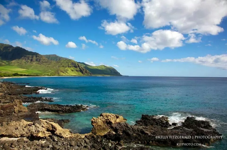
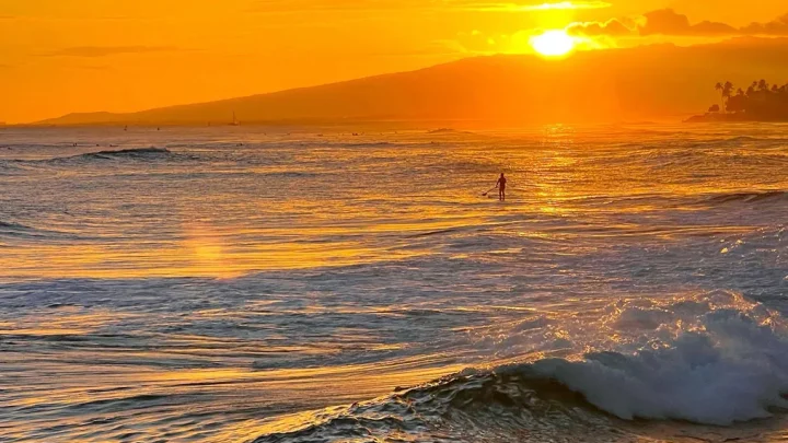
If you are looking at an island map, you might wonder what is leeward side of Oahu and why it looks so dry. In nautical terms, leeward means the side sheltered from prevailing winds. On Oahu, that refers to the western coastline facing away from the incoming trade winds.
Meteorological data from the National Weather Service confirms this coastline gets less than 25 inches of rain annually. That dry geography creates sunny skies, warm water, and a very different landscape from the lush eastern shores. Understanding where this region begins helps you plan better beach days and avoid coastal traffic bottlenecks.
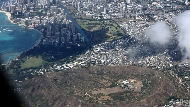
Image source: Web (Bing) / pinterest.com (Web image (fair-use with source credit))
Quick Answer
🌺 Local Island Guide Quick Answer
The leeward side of Oahu is the dry western coastline. It sits sheltered behind the tall Waiʻanae Mountain Range. This region runs from Kapolei north to Kaʻena Point.
It receives abundant sunshine and very little annual rainfall. As of 2026, it remains the sunniest part of the island.
Geographic Orientation: Where Oahu's Leeward Side Begins and Ends
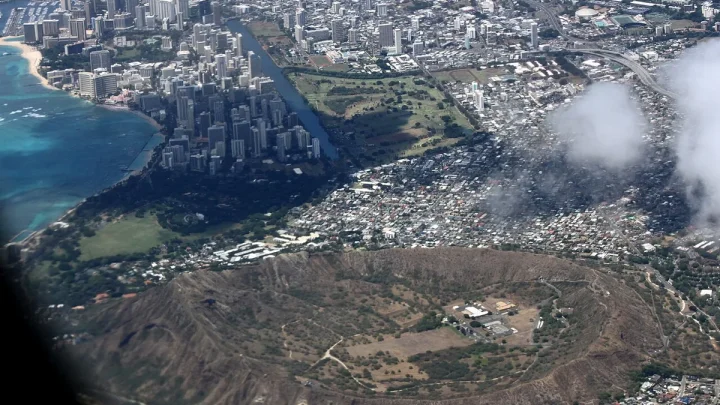
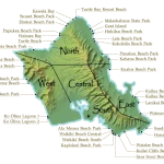
Oahu has two major mountain ranges that split the island. The Koʻolau Range sits on the east, and the older Waiʻanae Range sits on the west. The leeward side occupies the land directly west of the Waiʻanae peaks.
The region starts in the southwest plains at Kapolei and the Ko ʻOlina resort area. From there, Farrington Highway (Route 93) runs north along the coast through several distinct towns. You will pass Nānākuli, Māʻili, Waiʻanae town, and Mākaha.
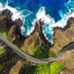
The highway ends abruptly at Keawaʻula Bay, also known as Yokohama Bay. Past that point, the paved road stops. The rugged lava coastline of Kaʻena Point State Park marks the northwestern tip of the island.
You cannot drive around Kaʻena Point to reach the North Shore. You must turn around and drive back south.
The Rain Shadow Effect: Why the West Coast Stays Dry and Sunny
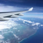
The dry climate of the leeward coast comes down to basic atmospheric science. Northeast trade winds blow across the Pacific Ocean toward Hawaii. These winds carry moisture-laden ocean air directly into the eastern side of the island.
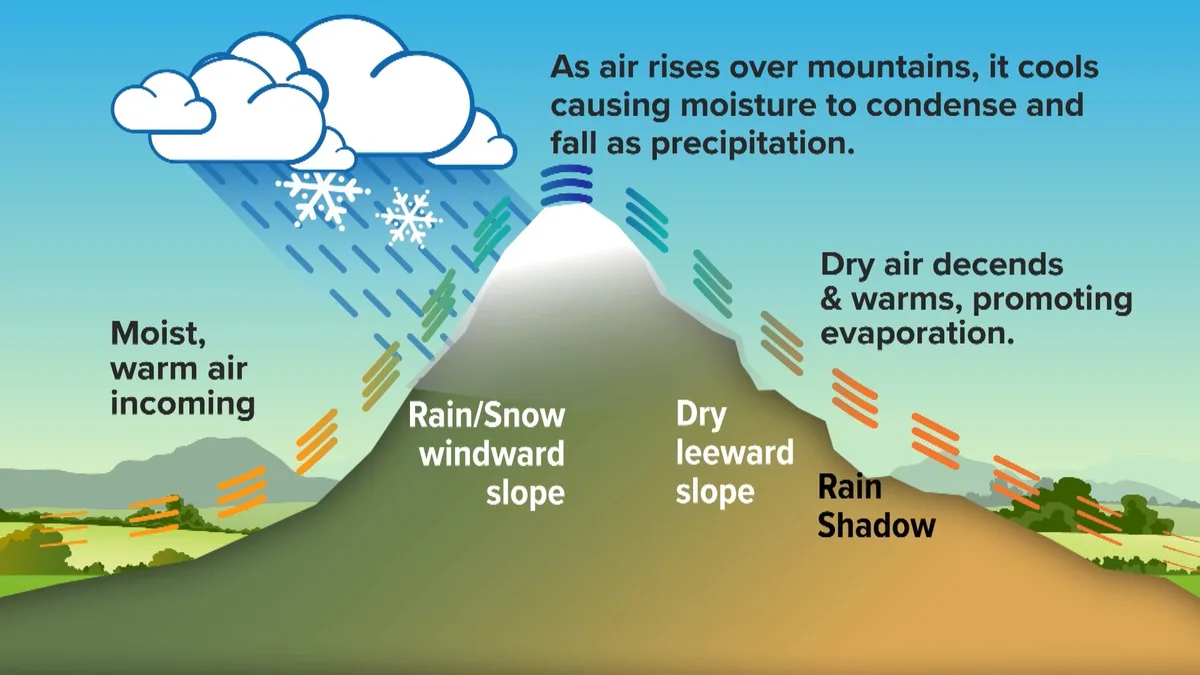
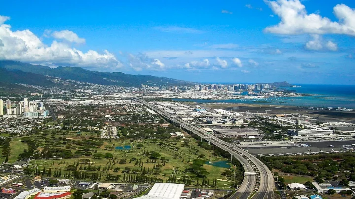
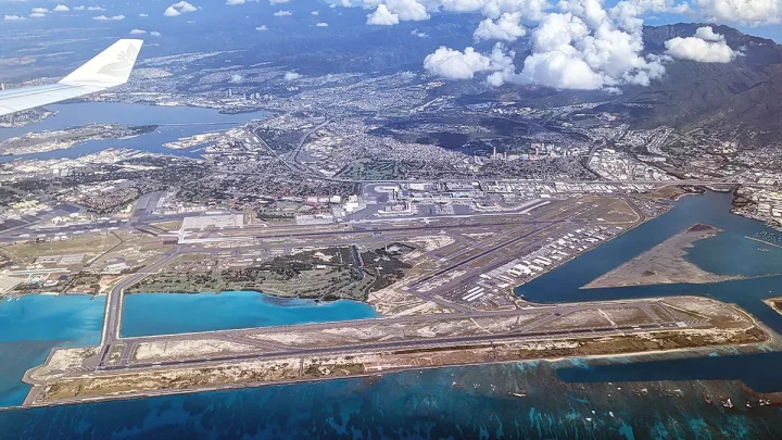
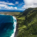
Image source: Web (Bing) / ktvb.com (Web image (fair-use with source credit))
When the trade winds hit the Koʻolau and Waiʻanae mountains, the air is forced upward. As the air rises, it cools and condenses into clouds. This process, called orographic precipitation, dumps heavy rain on the eastern windward slopes.
By the time the air crosses over the mountain ridgelines and descends the western slopes, it has lost most of its moisture. The descending air warms and dries out. Atmospheric studies from the University of Hawaiʻi show that this rain shadow leaves the leeward coast with more than 270 sunny days per year.
Key Towns and Landmarks Along the Leeward Coast
The leeward coast contains a mix of master-planned resort zones, working-class residential communities, and undeveloped coastal wilderness.
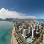
- Kapolei and Ko ʻOlina: Kapolei serves as the commercial hub of West Oahu. Just west of the city center lies Ko ʻOlina, a master-planned resort community known for four tranquil, man-made ocean lagoons.
- Nānākuli and Māʻili: These residential coastal towns feature wide sandy beaches, local parks, and dramatic valley backdrops. The ridgelines behind Māʻili hold popular hiking spots like the Puʻu O Hulu trail.
- Waiʻanae and Mākaha: Waiʻanae hosts the small-boat harbor where many western snorkel charters depart. Further north, Mākaha Valley opens into Mākaha Beach, a legendary birthplace of modern big-wave surfing.
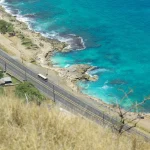
- Keawaʻula Bay (Yokohama Bay): This pristine, undeveloped beach marks the end of Farrington Highway. It offers deep turquoise waters and views of sheer mountain cliffs dropping into the Pacific.
Leeward vs. Windward Oahu: Side-by-Side Weather and Landscape Comparison
Choosing between the leeward and windward sides depends on what you want from your day. The windward coast delivers dramatic green cliffs and tropical rain. The leeward coast delivers dry heat and clear horizons.
| Feature | Leeward Side (West Oahu) | Windward Side (East Oahu) |
|---|---|---|
| Annual Rainfall | 15 to 25 inches | 70 to 100+ inches |
| Average Weather | Hot, dry, and sunny | Breezy, cooler, frequent showers |
| Landscape | Golden hills, kiawe trees, scrubland | Dense rainforest, lush green cliffs |
| Ocean Character | Calm summer bays, heavy winter shorebreak | Steady onshore winds, consistent chop |
| Sunset / Sunrise | Direct sunset ocean views | Direct sunrise ocean views |
| Key Towns | Ko ʻOlina, Waiʻanae, Mākaha | Kailua, Kāneʻohe, Waimānalo |
If you want calm resort lagoons and guaranteed sunshine for sunbathing, the leeward side is ideal. If you want breezy trade winds, kayaking, and vibrant greenery, head to the windward coast.
Top Things to Do: Beaches, Snorkeling, and West Coast Trails
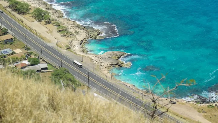
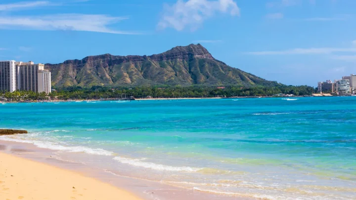
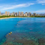
The leeward coast provides some of the clearest water on Oahu because there is minimal runoff from rain. The lack of commercial development past Kapolei gives the beaches a wild, natural feel.
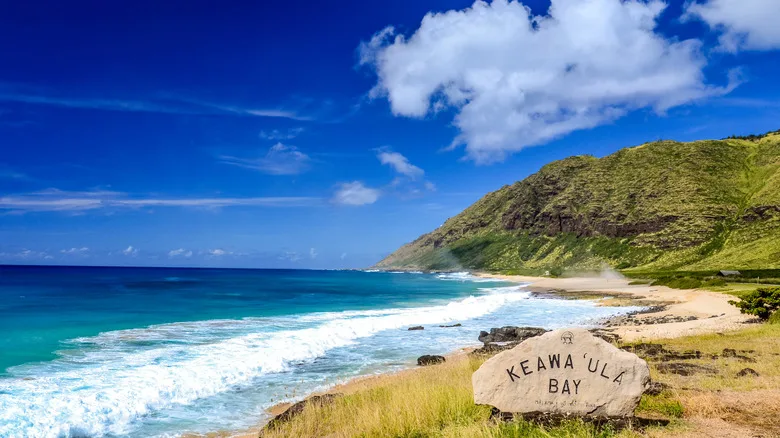
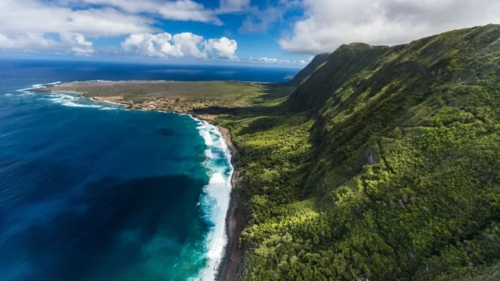
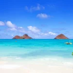
Image source: Web (Bing) / islands.com (Web image (fair-use with source credit))
- Snorkel at Kahe Point Beach Park: Also known as Electric Beach, this spot sits next to a clean-water power plant outflow. The warm water discharge attracts green sea turtles, eagle rays, and huge schools of tropical fish.
- Relax at the Ko ʻOlina Lagoons: Four linked ocean lagoons offer protected, calm waters. They are ideal for toddlers and casual swimmers who want ocean water without large breaking waves.
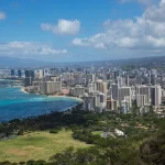
- Hike Puʻu O Hulu (Pink Pillbox): A moderate ridge hike in Māʻili leads to historic military observation pillboxes. The summit gives you a panoramic view of the entire leeward coastline.
- Explore Kaʻena Point Natural Area Reserve: A flat coastal trail follows an old railroad bed from Yokohama Bay to the point. The protected reserve protects nesting Laysan albatrosses and Hawaiian monk seals.
Practical Realities: Traffic Logistics, Sun Exposure, and Ocean Safety
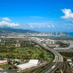
Visiting or staying on the west coast requires practical planning. Farrington Highway is the only paved road connecting the Waiʻanae Coast to the rest of Oahu. If an accident or construction closes this two-lane road, traffic comes to a complete standstill.
To avoid the worst delays, avoid driving west from Honolulu between 3:00 PM and 6:30 PM on weekdays. Commuter traffic heading home from town backs up heavily along the H-1 freeway into Kapolei. Heading east toward Honolulu during the morning rush hour from 5:30 AM to 8:30 AM creates similar bottlenecks.
The leeward environment also demands respect regarding sun and surf conditions:
- Intense Afternoon Sun: Coastal trails like Kaʻena Point offer zero shade. Pack double the water you think you need, use mineral sunscreen, and wear UV-rated sun shirts.
- Seasonal Swells: Summer ocean conditions are typically flat and glassy, creating ideal snorkeling conditions. Winter brings massive northwest swells that generate dangerous shorebreaks and severe rip currents at Mākaha and Yokohama.
- Unpatrolled Beaches: Many remote stretches do not have lifeguards. Always check daily surf advisories and observe the water for twenty minutes before entering.
Frequently Asked Questions About Oahu's Leeward Side
What is the difference between leeward and windward on Oahu?
The leeward side is the dry western coastline sheltered from prevailing winds by the Waiʻanae mountains. The windward side is the wet eastern coastline facing direct ocean trade winds. Leeward areas stay hot and sunny, while windward areas receive frequent rain showers and lush green growth.
Can you drive completely around the leeward side to the North Shore?
No, you cannot drive around the northwestern point. Farrington Highway ends at Keawaʻula Bay on the west side and near Mokulēʻia on the north side. The two paved roads are separated by the rugged Kaʻena Point Natural Area Reserve, which is accessible only by foot.
Is the leeward side of Oahu safe for swimming?
Yes, but safety depends heavily on location and season. The protected lagoons at Ko ʻOlina remain safe for swimming year-round. Open beaches like Mākaha and Yokohama provide calm conditions in summer, but they produce dangerous winter surf with powerful rip currents.
Why does the leeward side get less rain?
The leeward coast sits in the rain shadow of the Waiʻanae and Koʻolau mountain ranges. As trade winds push clouds up the eastern mountain slopes, moisture drops as rain. By the time that air crosses the western ridgeline, it becomes warm and dry.
What is the best time of day to visit West Oahu?
Morning is the best time to explore the leeward coastline for outdoor activities. The ocean is calmest for snorkeling before noon, and coastal hiking trails are much cooler. Staying through the late afternoon lets you watch unobstructed Pacific sunsets over the water.
🚗 Field-Tested Gear: Oahu Road Trips & Rental Car Protection
Avoid costly rental car detailing penalties from wet sand and keep navigation seamless across island mountain corridors with these road trip essentials:
- Waterproof Neoprene Car Seat Towel Covers:Check Waterproof Rental Seat Covers on Amazon →
- Magnetic Air Vent Car Phone Mount & GPS Companion:Check Travel Air Vent Car Mounts on Amazon →
*FTC Disclosure: As an Amazon Associate, Hawaii Travel Bureau earns from qualifying purchases. Learn more about our field-tested travel research methodology.*
🌺 Related Oahu Driving & Transit Guides:

Similar Posts