Where Is Ko Olina Located on Oahu? Map & Directions
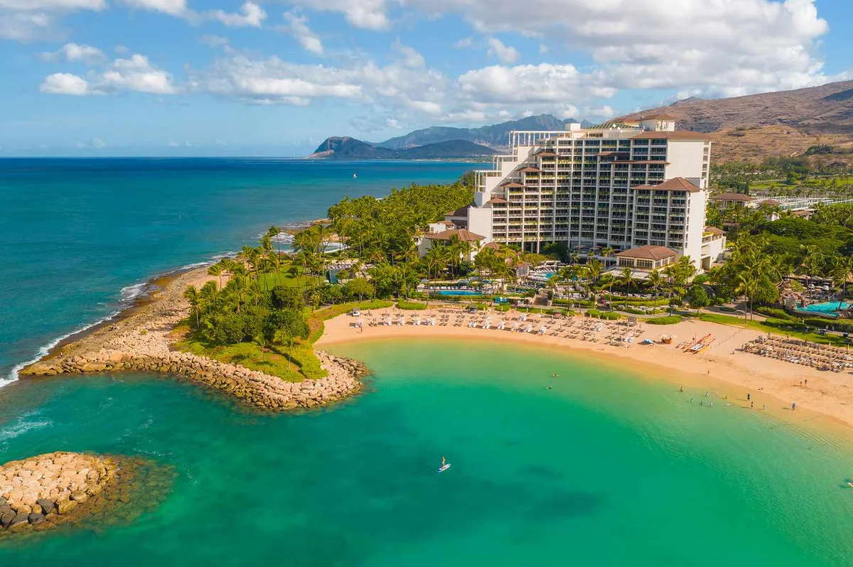
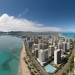
If you are planning a trip to Hawaii, knowing where is ko olina located on oahu helps you plan travel times and lodging. Ko Olina sits on the sunny Leeward Coast on the far western edge of Oahu. It offers a calm, resort-style escape far removed from the dense high-rises of Honolulu.
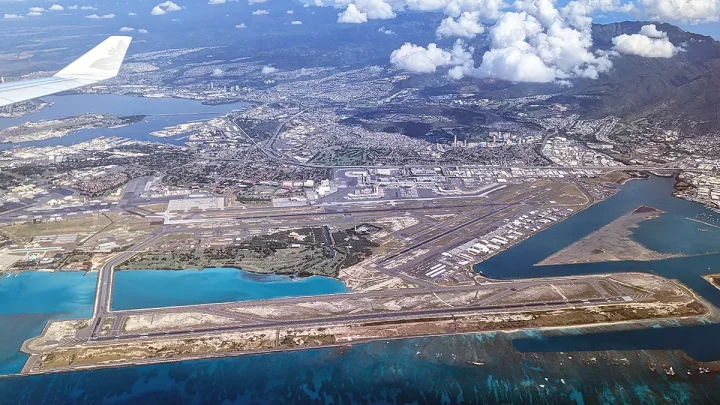
The master-planned property covers 642 oceanfront acres within the Ewa District. It rests about 20 miles west of Daniel K. Inouye International Airport.
Knowing its exact location helps you navigate airport transfers, daily excursions, and island traffic patterns.
Quick Answer
🌺 Local Island Guide Quick Answer
Ko Olina is located on Oahu on the southwestern Leeward Coast. It sits in the Ewa District just past the city of Kapolei. The resort is roughly 20 miles west of Honolulu International Airport.
It borders the ocean along Interstate H-1 at Farrington Highway.
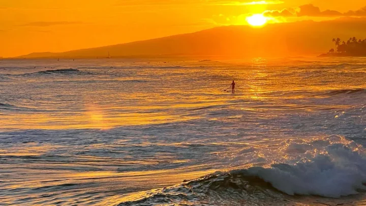
Image source: Web (Bing) / travelandleisure.com (Web image (fair-use with source credit))
Exactly Where Ko Olina Sits on Oahu’s Leeward Coast
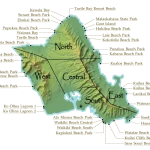
Ko Olina occupies a prime stretch of oceanfront in West Oahu. Geographically, it sits on the southern end of the Waiʻanae coastal corridor. The Waiʻanae Mountain Range rises directly behind the resort, creating a dramatic inland backdrop.
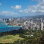
To the east lies the growing city of Kapolei, known locally as Oahu's "Second City." Kapolei provides easy access to grocery superstores, local eateries, and commercial shopping centers just a ten-minute drive away. To the south, the industrial coastline of Kalaeloa and Barbers Point Deep Draft Harbor forms the neighboring boundary.
The resort itself is a self-contained community. A single main roadway, Aliʻinui Drive, runs north to south through the entire property. This roadway connects the gated residential communities, luxury hotels, golf greens, and commercial marina into one neat corridor.
Driving to Ko Olina: Routes, Transit Times, and Rush-Hour Realities
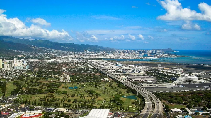
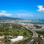
Reaching Ko Olina by car requires a simple, straightforward route along Oahu's primary highway. Drivers leaving the airport or downtown Honolulu take Interstate H-1 West. The freeway carries you past Pearl City, Waipahu, and Kapolei before terminating directly into Farrington Highway (Hawaii Route 93).
You take Exit 1 from the highway to merge onto Aliʻinui Drive. The drive is effortless during midday hours, but timing matters immensely on weekdays. Westbound afternoon traffic on the H-1 can double or triple standard transit times.
The Hawaii Department of Transportation manages ongoing highway flow, but rush hour remains a daily factor.
| Starting Point | Off-Peak Drive Time | Rush-Hour Drive Time | Driving Distance |
|---|---|---|---|
| Honolulu Airport (HNL) | 25 to 30 minutes | 50 to 75 minutes | 20 miles |
| Waikiki (South Shore) | 35 to 45 minutes | 75 to 100 minutes | 28 miles |
| Pearl Harbor | 20 to 25 minutes | 45 to 60 minutes | 16 miles |
| North Shore (Haleiwa) | 35 to 40 minutes | 45 to 55 minutes | 26 miles |
| Kailua (Windward Coast) | 40 to 50 minutes | 75 to 90 minutes | 33 miles |
If you travel west on a weekday, leave Honolulu before 2:30 PM. Alternatively, wait until after 6:30 PM to avoid the westbound commuter backup.
Inside the Resort: Visual Layout of the 4 Lagoons and Major Properties
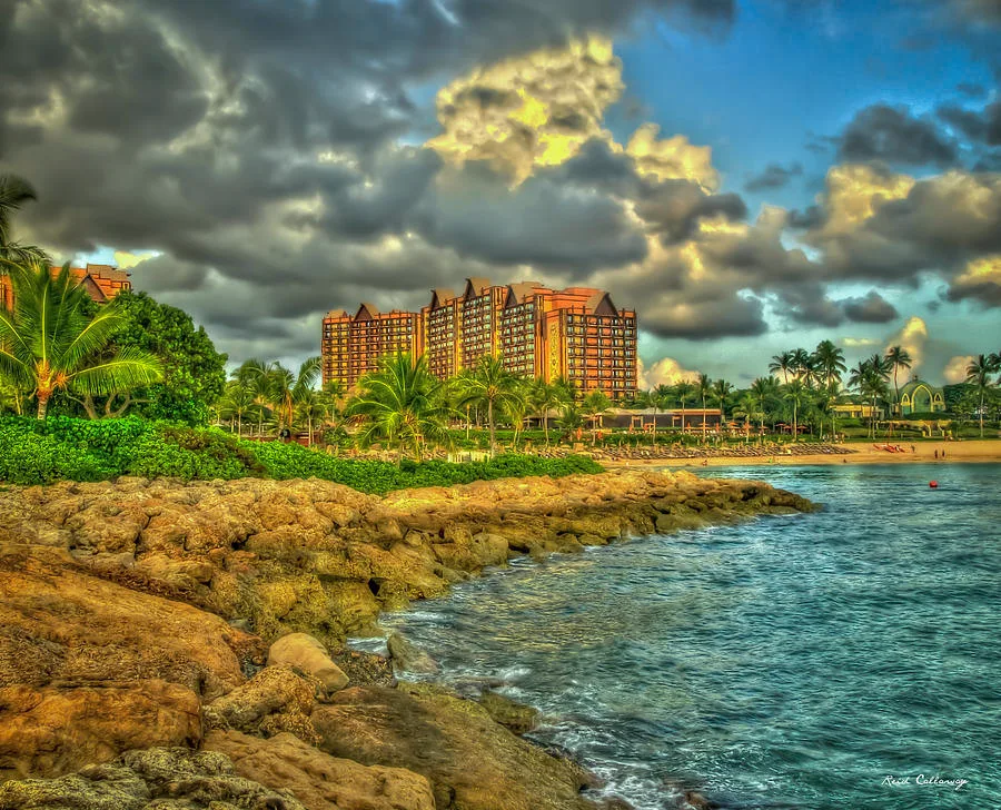
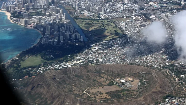
Image source: Web (Bing) / fineartamerica.com (Web image (fair-use with source credit))
Ko Olina is famous for its four crescent-shaped, man-made ocean lagoons. Engineered stone breakwaters protect each lagoon, creating calm swimming coves without rough shorebreaks. A paved 1.5-mile coastal walking path links all four lagoons from north to south.
Lagoon 1 (Kohola Lagoon)
This is the northernmost and largest lagoon on the property. It frontages the Four Seasons Resort Oahu at Ko Olina and Aulani, A Disney Resort & Spa. It features broad sandy beaches and the highest concentration of resort activities and dining.
Lagoon 2 (Honu Lagoon)
Positioned just south of Lagoon 1, Honu Lagoon sits in front of the Ko Olina Beach Villas Resort. It tends to be noticeably quieter than the first lagoon. It is popular with lap swimmers and families seeking less foot traffic.
Lagoon 3 (Naia Lagoon)
Naia Lagoon borders Marriott's Ko Olina Beach Club. It offers extensive lawn areas, swaying palm trees, and wide beach frontage. It features convenient outdoor showers and public restrooms along the path.
Lagoon 4 (Kolola Lagoon)
Kolola is the southernmost lagoon and sits adjacent to the Ko Olina Marina. It provides the largest dedicated public parking lot. It is also the departure point for commercial catamaran sails and snorkel charters.
The Leeward Microclimate: Why the Weather Differs from Honolulu
Oahu features several distinct microclimates created by its volcanic mountain ranges. Ko Olina sits on the dry, sunny Leeward side of the island. The tall Waiʻanae mountains catch incoming moisture from northeastern trade winds, creating a natural rain shadow.
This geographic barrier leaves Ko Olina with an average of under 20 inches of rain annually. In comparison, windward towns like Kailua can receive 40 to 80 inches of annual precipitation. As of 2026, climate records consistently rate the Leeward coast as one of the sunniest regions in the state.
Because the resort faces due west, it receives unbroken afternoon sunshine. Ocean conditions inside the lagoons stay warm and serene year-round. Even when winter swells batter Oahu's North Shore, Ko Olina's protected coves remain tranquil and swimmable.
Navigating Beach Access, Public Parking, and Security Gates
Under Hawaii law, all beaches up to the upper wash of the waves are public property. Ko Olina provides public pedestrian access and dedicated parking stalls for each of its four ocean lagoons. You do not need to stay at a resort to enjoy the shoreline.
When you enter Aliʻinui Drive, you pass a security kiosk. Inform the attendant that you are visiting the public beach lagoons. They will direct you forward toward the lagoon lots.
Public parking is free, but space is limited. Lagoons 1, 2, and 3 each have small lots containing roughly 20 to 30 stalls. Lagoon 4 offers over 100 stalls near the marina.
These lots often fill completely by 8:30 AM on weekends and sunny holidays. Arrive early in the morning to secure a free stall.
Ko Olina vs. Waikiki and Turtle Bay: How the Locations Compare
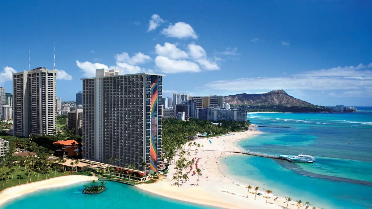
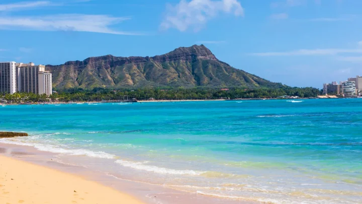
Image source: Web (Bing) / hilton.com (Web image (fair-use with source credit))
Choosing where to stay on Oahu usually comes down to three distinct resort regions. Waikiki sits on the South Shore, Turtle Bay anchors the North Shore, and Ko Olina commands the Leeward Coast. Each area offers a completely different atmosphere, pace, and geographic advantage.
Ko Olina suits families with young kids and travelers seeking peaceful ocean swimming. Its protected lagoons provide safe, wave-free water all year. Waikiki is best for visitors who want lively nightlife, dense shopping, and walkable city energy.
Turtle Bay appeals to travelers looking for rugged coastal scenery, surf culture, and seclusion.
| Feature | Ko Olina (Leeward) | Waikiki (South Shore) | Turtle Bay (North Shore) |
|---|---|---|---|
| Vibe | Relaxed, self-contained luxury | Busy, high-energy city | Rugged, quiet, surf-centric |
| Ocean Conditions | Calm, protected lagoons | Gentle to moderate surf | Heavy winter surf, calm summer |
| Walkability | Internal paved resort path | Dense city blocks | Remote trails and golf courses |
| Drive to HNL Airport | 25 to 30 minutes | 20 to 25 minutes | 55 to 70 minutes |
| Dining Options | High-end resort restaurants | Hundreds of diverse eateries | Limited on-site options |
If you want a peaceful base with reliable sunshine, Ko Olina is tough to beat. If you prefer walking to dynamic street markets and varied nightlife, Waikiki remains the practical pick.
Frequently Asked Questions About Ko Olina's Location
Is Ko Olina considered part of Honolulu?
Ko Olina is part of the City and County of Honolulu, which covers the entire island of Oahu. However, it is located about 28 miles west of downtown Honolulu. It sits in the separate Ewa District right next to Kapolei.
How far is Ko Olina from Honolulu Airport?
Ko Olina is approximately 20 miles west of Daniel K. Inouye International Airport. The drive takes about 25 to 30 minutes during non-peak hours along Interstate H-1.
Weekday afternoon rush-hour traffic can extend this drive to over an hour.
Can you take public transit to Ko Olina?
You can reach the resort area using Honolulu's public bus system, TheBus, via route 40. The route departs from Ala Moana Center and travels west toward Makaha. However, the bus drops passengers along Farrington Highway, requiring a 15-minute walk down Aliʻinui Drive.
Are the beaches in Ko Olina open to the public?
All four ocean lagoons in Ko Olina are completely open to the public. Hawaii state law guarantees public access to the shoreline below the high-tide line. Free public parking stalls are provided at each lagoon on a first-come, first-served basis.
What town is closest to Ko Olina?
The city of Kapolei is the closest major town to Ko Olina. It sits roughly three to five miles east of the resort gates. Kapolei offers major retail centers, grocery stores, pharmacies, medical facilities, and numerous casual dining spots.
🥾 Field-Tested Gear: Hawaii Trail & Sightseeing Protection
From rugged Kualoa filming valleys to sharp volcanic ridgelines, tackle Oahu’s premier attractions safely with trail-proven footwear and sun protection:
- High-Traction Breathable Water Hiking Shoes:Check Quick-Dry Water Hiking Shoes on Amazon →
- UPF 50+ UV Sun Protection Long-Sleeve Rash Guard:Check UPF 50+ Sun Protection Shirts on Amazon →
*FTC Disclosure: As an Amazon Associate, Hawaii Travel Bureau earns from qualifying purchases. Learn more about our field-tested travel research methodology.*
🌺 Related Hawaii Sights, Culture & Filming Guides:

Similar Posts